Lonketinden
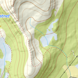
784 metres of ascent over 3.06 km from the water basin by Finnelva to Lonketinden, the highest mountain in its corner of southern Senja. The tour is short and steep rather than long: the steepest hundred-metre band measures 23.4 degrees between 500 and 600 m, and the steepest sustained stretch 30.0 — exactly what Fri Flyt gives as «Bratteste punkt: 30-35 grader (kort parti)», and exactly where the source says it lies.
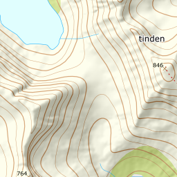
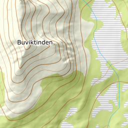
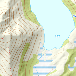
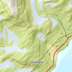
Elevation profile
784 metres of ascent over 3.06 km from Finnelva, with the steepest ground — 30.0 degrees between 564 and 588 m — exactly where the source says the short pitch lies.
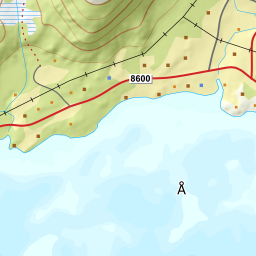
From the road end at the water basin by Finnelva, 66 m. It is the highest road end in the valley, and it explains the source's figure: 848 minus 66 is 782, against the «785 høydemeter» Fri Flyt states. The register point for Finnelva lies 170 metres away.
Route description, descent and avalanche terrain open with a subscription — 14 days free, then 29 kr/month.
Start free trialMore tours in Senja
- Hesten (Segla)556 m · Moderate
- Keipen938 m · Demanding
- Husfjellet632 m · Easy
- Breitinden1007 m · Expert
- Skolpan777 m · Easy
- Tredje Svanfjell899 m · Moderate