Lukttinden
1129 metres of ascent over 3.99 km from the farm at Kammen to Lukttinden — the biggest climb of this round, and a mountain ut.no calls «av mange ansett som den flotteste og mest spektakulære toppen i Vefsn», held by many to be the finest and most spectacular summit in Vefsn. The line climbs unusually evenly: every hundred-metre band from 500 m upward measures between 17.4 and 19.6 degrees, and the steepest sustained stretch is 28.1. The hazard lies in the edges, and in which way you take up onto the ridge.
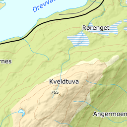
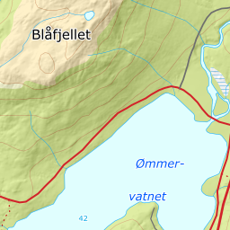
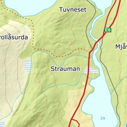
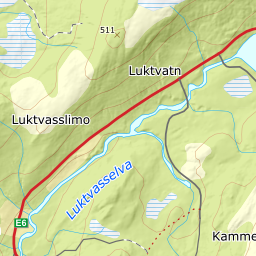
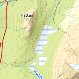
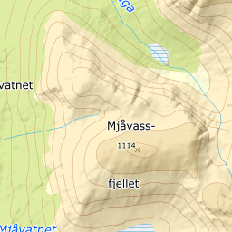
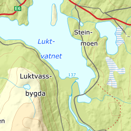
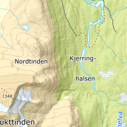
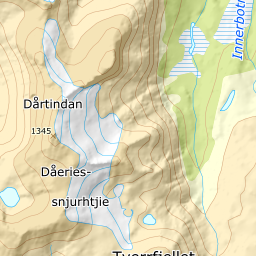
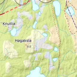
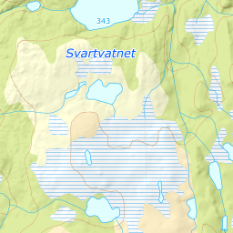
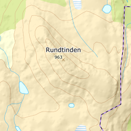
Elevation profile
1129 metres of ascent over 3.99 km from Kammen, with the steepest ground — 28.1 degrees between 633 and 650 m — in the pull onto the ridge, 2.1 km before the cairn.
From the road end at the farm at Kammen, 230 m. Fri Flyt says «Følg traktorveien videre fra parkeringen i omtrent 300-400 meter» — follow the tractor road on from the parking for some 300 to 400 metres — and ut.no the same: the track starts on the forest road by the farm. The band from 200 to 300 m measures 11.0 degrees and the band from 300 to 400 just as gently over 586 metres of ground.
Route description, descent and avalanche terrain open with a subscription — 14 days free, then 29 kr/month.
Start free trialMore tours in Helgeland
- Tortenviktinden1028 m · Moderate
- Tomskjevelen922 m · Moderate