Melshornet
565 metres of climbing over 3.30 km from Helgatun, on a groomed and marked track that is skied after dark all winter. The steepest sustained section measures 23.8 degrees, and it sits just above the treeline at 454 m — not up under the cairn.
Elevation profile
559 metres of climbing and 3.00 km from Helgatun on Krøvelseidet, with the treeline at 454 m and the steepest hundred-metre band between 400 and 500 m.
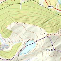
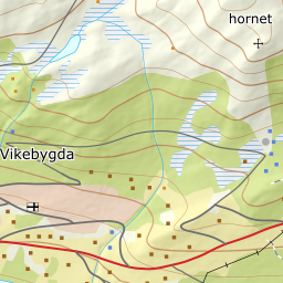
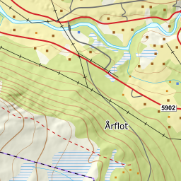
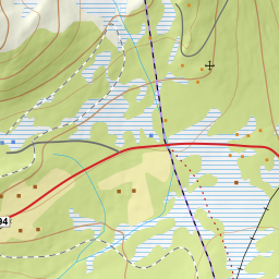
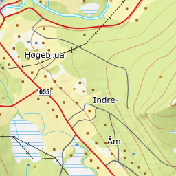
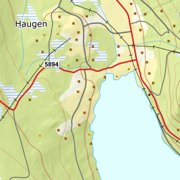
Start at the large car park by Helgatun on Krøvelseidet, 252 m, on fv5894 Vikebygdvegen between Volda and Åmdalen. The track leaves the car park straight into the forest. It is groomed with a snowcat at times, and the final slope is marked with snow poles.
Route description, descent and avalanche terrain open with a subscription — 14 days free, then 29 kr/month.
Start free trialMore tours in Sunnmøre
- Auskjeret1203 m · Moderate
- Jønshornet1417 m · Expert
- Ytstevasshornet1331 m · Demanding
- Råna1587 m · Demanding
- Kolåstinden1432 m · Demanding
- Vassdalstinden1278 m · Demanding
- Saudehornet1303 m · Demanding
- Slogen1564 m · Expert
- Torvløysa1851 m · Moderate
- Skårene1830 m · Demanding
- Jakta1589 m · Demanding
- Skårasalen1542 m · Demanding
- Kvitegga1700 m · Demanding
- Hornindalsrokken1527 m · Expert
- Sunndalsnipa1395 m · Moderate
- Eidskyrkja1482 m · Demanding