Middagstinden
1291 metres of ascent over 6.04 km from Herdslan in Innfjorden to an alpine summit that is steep on every side — Fri Flyt rates the tour KAST 3 – Complex with a steepest point of 39 degrees, and the normal route feels airy and exposed. The line measures 25.1 degrees in its steepest 100 m band and 30.0 in its steepest sustained stretch, which is the last metres up the west-facing summit flank. The ridge to it is often wind-scoured: skis on the pack, and crampons and ice axe may be needed. This is the most serious tour of the round, and it says so itself.
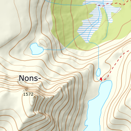
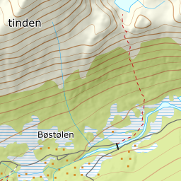
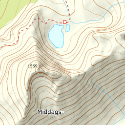
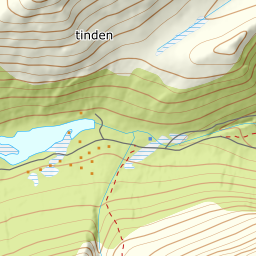
Elevation profile
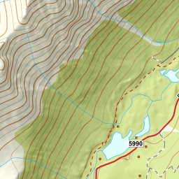
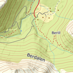
1291 metres of ascent and 6.04 km from Herdslan around Berillvatnet and up the stream gully to the col at Tindevatnet, with the treeline at 740 m and the steepest ground — 30.0 degrees between 1549 and 1568 m — in the west-facing summit flank.
From Herdslan on the toll road toward Bøstølen — the register's Herdslan is a clearing by the road, and the bog flat where the cars stand reads 348.7 m against Fri Flyt's stated 360. The road is followed west along the south side of Berillvatnet, which is a regulated reservoir: the line rounds the whole lake on land, past its west end at 403 m, and crosses the river west of the lake at a suitable spot as the source says — 390 m where the line takes it. The band from 300 to 400 m measures 3.4 degrees over a kilometre and a half of road.
Route description, descent and avalanche terrain open with a subscription — 14 days free, then 29 kr/month.
Start free trialMore tours in Romsdal
- Kirketaket1439 m · Moderate
- Skarven1048 m · Moderate
- Mjølvafjellet1215 m · Moderate
- Blånebba1317 m · Demanding
- Øspetinden1228 m · Demanding