Midtitinden
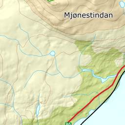
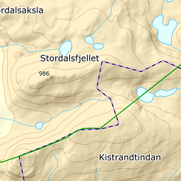
1050 metres of ascent and 4.15 km, every metre of the mountain from sea level: the car park at Sagelva on highway 80 reads 11 metres, and the cairn 1060. Fri Flyt calls Midtitinden — or Mjønestinden — one of the most popular ski peaks around Bodø, and the numbers explain why: the steepest 100-metre band measures 19.1 degrees between 900 and 1000 metres, the steepest sustained stretch 26.9, and the line gives back two metres on the whole tour. The register carries both points: the Topp point Midtitinden stands 294 m to the north-east and reads only 983 metres, while the Fjell point Mjønestindan stands 15 m from the highest ground and reads 1057. Fri Flyt's 'Mjønestinden' is thus the register's own name for the summit itself — and that is where the line goes.
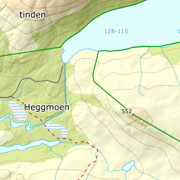
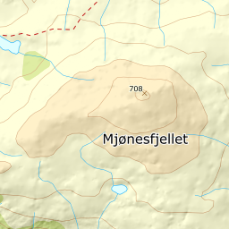
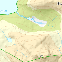
Elevation profile
1050 metres of ascent and 4.15 km from Sagelva on highway 80 — sea level to 1060 metres, with 26.9 degrees as the steepest sustained stretch.
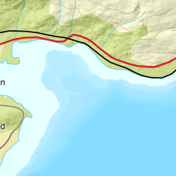
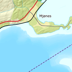
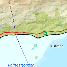
Start at the big pull-off on highway 80 at Kleivberget, north-east of the mouth of the Sagelva — the parking bay is mapped and reads 11 metres. Walk north through the cabin field to the uppermost cabin, the one Fri Flyt calls Geilo, at 54 metres — the forest here is the only forest on the tour, and Kartverket's classes say it ends already at 191 metres.
Route description, descent and avalanche terrain open with a subscription — 14 days free, then 29 kr/month.
Start free trialMore tours in Bodø
- Sandhornet993 m · Moderate