Mjølvafjellet
1220 metres of ascent over 5.15 km from the fjord to the summit hanging over Romsdalen — the tour starts at the sports ground in Isfjorden, 6 m above the sea, and ends at 1215. Fri Flyt rates it KAST 2 – Challenging with a steepest point of 28 degrees on the normal route; the finished line measures 21.0 degrees in its steepest 100 m band and 31.5 in its steepest sustained stretch, which sits low on the hillside between 279 and 300 m. It is a long tour where the length is the difficulty — and where route-finding in poor visibility is what the source warns most about.
Elevation profile
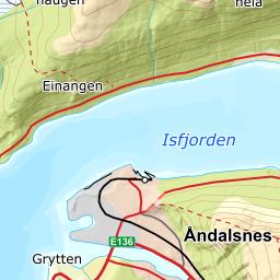
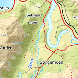
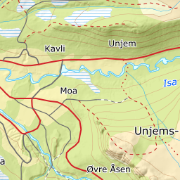
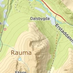
1220 metres of ascent and 5.15 km from Isfjorden stadium via Steinselva and the ridge at Høgnosa, with the treeline at 673 m and the steepest ground — 31.5 degrees between 279 and 300 m — down in the forest.
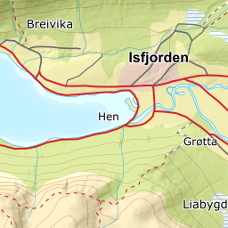
From Isfjorden stadium — OSM maps the pitch, and the terrain model answers 5.7 m with the class SportIdrettPlass, the same rare three-way agreement of guidebook, map object and terrain model as Glitregga's sports ground. The tractor road takes you up the southeast hillside past the football pitch: the band from 0 to 100 m measures 7.9 degrees, then it steepens — 21.0 degrees from 200 to 300 m over 261 metres of ground, with the tour's steepest sustained stretch, 31.5 degrees, between 279 and 300 m. The steepest ground of the whole tour is in the forest.
Route description, descent and avalanche terrain open with a subscription — 14 days free, then 29 kr/month.
Start free trialMore tours in Romsdal
- Kirketaket1439 m · Moderate
- Skarven1048 m · Moderate
- Blånebba1317 m · Demanding
- Øspetinden1228 m · Demanding
- Middagstinden1568 m · Expert