Møysalen
From 23 m to 1264, and 1596 metres of climbing to get there — 355 of them given back along the way, and 120 in one stretch down to Grønnvatnet. Vesterålen's highest is one of the few tours in this app that starts at the sea and ends on a ridge where people take their skis off. Friflyt rates it KAST 3, 11 to 18 hours, and calls for an ice axe and crampons.
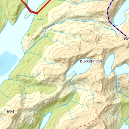
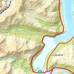
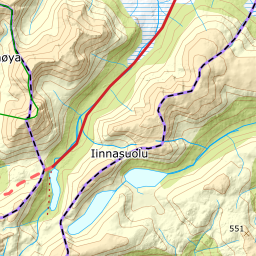
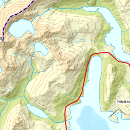
Elevation profile
1596 metres of climbing from the E10 at Litlvatnet to 1264 m, 355 of them given back along the way and a 51-metre notch in the summit ridge.
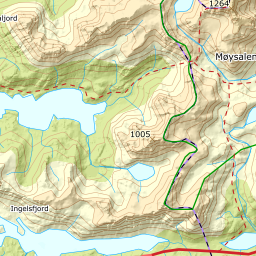
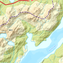
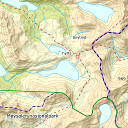
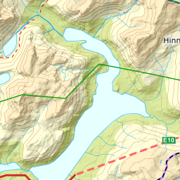
From the large car park on the E10 on the south side of Litlvatnet, 23 m, the route runs north up the drainage. The E10 is a year-round trunk road, and this is the start Friflyt uses — the guided summer ascents from Møysalen Nasjonalparksenter begin with a boat from Hennes into Lonkanfjorden, but that is a different tour. The first two kilometres are flat: the 100 to 200 m band averages 2.9 degrees over 2165 metres of ground. The forest lets go late for Vesterålen: the last vertex with terrain class Skog is at 234 m, 2900 metres in, and the next vertex, 240 m, is bog. The birch down the valley is interleaved with the bog, so you pass in and out of it the whole way up — 55 of the route's 333 points are forest, from 12 to 234 m.
Route description, descent and avalanche terrain open with a subscription — 14 days free, then 29 kr/month.
Start free trialMore tours in Vesterålen
- Stortinden i Sortland1020 m · Expert
- Forselvtinden907 m · Expert
- Forkledalstindan901 m · Expert
- Lakselvtindan747 m · Demanding
- Sebortinden831 m · Expert
- Kvasstinden832 m · Moderate