Nibbi
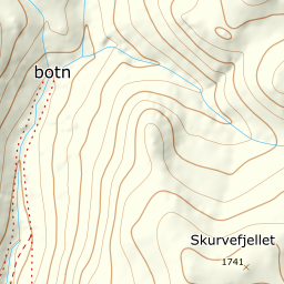
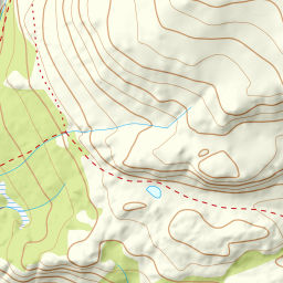
803 metres of climbing and 2.93 km from Lykkjastølen to the cairn at 1740 m — nearly all of it inside three kilometres. The steepest hundred-metre band is 21.4 degrees from 1200 to 1300 m over 224 metres of ground, and the steepest sustained step 24.2 degrees between 1249 and 1269. The east side of the summit is another matter: 27.6 degrees on average, with 32.5 in its steepest window.
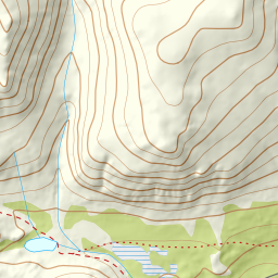
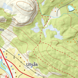
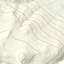
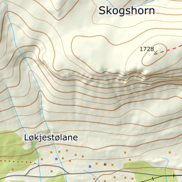
Elevation profile
803 metres of climbing and 2.97 km from Lykkjastølen west of the waterfall at 1075 m and up the valley to 1364, with the forest letting go at 1054 m.
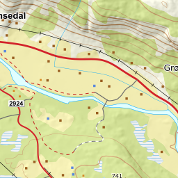
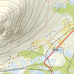
Start at Lykkjastølen, 939 m. Ut.no gives 941 for the same point, and the toll covers the parking — paid into a postbox at Ulsåkstølen Fjellstue. From the car you can see the waterfall some way up the hillside, and Fri Flyt and ut.no say the same thing about it: keep to the west side. The fall itself is not mapped anywhere; the stream it runs in is Nordrestølbekken, the only named stream the line passes, so the name is an inference from the stream and not from the fall. The corridor's waypoint sits 60 metres west of it, at 1075 m.
Route description, descent and avalanche terrain open with a subscription — 14 days free, then 29 kr/month.
Start free trialMore tours in Hemsedal
- Slettind1592 m · Easy
- Kyrkjebønosi1670 m · Demanding
- Råskarfjellet1610 m · Moderate
- Skogshorn1729 m · Moderate
- Storehorn1482 m · Moderate