Nonstinden
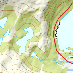
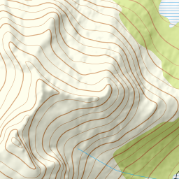
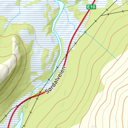
973 metres of ascent over 5.72 km from the Gullesfjordbotn roundabout to a summit without one gentle side: all eight flank probes measure a mean 21.5 to 38.9 degrees, and the source's four steep descents are exactly that. The normal route goes west of the fjord head, up the ridge from 155 and west into the steep gully — the tour's steepest stretch, 31.1 degrees, sits between 542 and 563 m where the gully delivers onto the plateau. Complex by Fri Flyt, ice axe and crampons, grade 4.
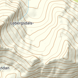
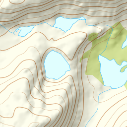
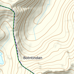
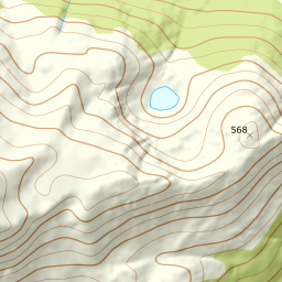
Elevation profile
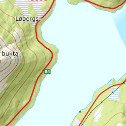
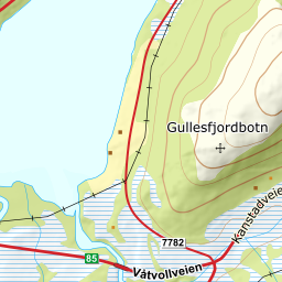
973 metres of ascent and 5.72 km from the Gullesfjordbotn roundabout west of the fjord head, up the ridge and the steep gully to the plateau — the treeline at 125 m, and the steepest ground, 31.1 degrees between 542 and 563 m, in the gully itself.
From the big car park at the roundabout — 49 m — walk west around the fjord head, past the parking on the west side, giving back 46 metres down to the shore before the ridge foot receives you at 75. The forest ends as early as 125 m after 2.77 km — most of the ski tour is above the treeline.
Route description, descent and avalanche terrain open with a subscription — 14 days free, then 29 kr/month.
Start free trialMore tours in Harstad
- Hattfjellet857 m · Demanding
- Stortussen945 m · Demanding
- Litletussen795 m · Demanding
- Slåttheia694 m · Moderate
- Skjellesvikgalten987 m · Expert
- Nona1009 m · Expert
- Trolltinden918 m · Demanding
- Årbostadtinden1179 m · Expert
- Klåptinden998 m · Demanding
- Toppen759 m · Expert
- Lundenesgalten787 m · Demanding
- Middagstinden på Andørja630 m · Moderate
- Skartinden1149 m · Expert
- Langlitinden1276 m · Expert
- Kråkrøtinden1186 m · Expert
- Ristinden1056 m · Expert
- Snøtinden1215 m · Expert
- Storhornet i Kvæfjord722 m · Easy
- Vetefjellet547 m · Moderate
- Storlitinden613 m · Easy
- Stortinden på Rolla1020 m · Expert
- Rundtinden872 m · Demanding
- Sula848 m · Moderate
- Heia527 m · Easy
- Hinnstein560 m · Demanding
- Lasselitinden896 m · Demanding
- Hemmestadfjellet686 m · Moderate
- Middagstinden i Kvæfjord922 m · Expert
- Nattmålsfjellet546 m · Demanding
- Horntindan911 m · Expert
- Tverrfjellet889 m · Moderate
- Sørvikfjellet607 m · Expert
- Melåaksla916 m · Moderate
- Rundfjellet i Harstad868 m · Moderate
- Jakobstinden976 m · Demanding
- Haukebøtinden905 m · Moderate
- Reinspælen1117 m · Expert
- Sætertinden1095 m · Moderate
- Kongsviktinden980 m · Demanding
- Snøtinden i Tjeldsund980 m · Moderate
- Taraldsviktinden776 m · Demanding
- Snøtindan996 m · Expert
- Fiskefjordtindan965 m · Demanding
- Middagsfjellet810 m · Demanding
- Strandtinden1076 m · Demanding
- Jotind979 m · Expert
- Siriskolten659 m · Easy
- Trollfjellet1009 m · Moderate
- Helligtinden948 m · Demanding