Okla
1025 metres of climbing and 5.99 km from Dalen in Storlidalen to Snydda, 1582 m — the high point of the Okla massif, where the cairn and the summit book stand. The steepest hundred-metre band is 19.8 degrees from 700 to 800 m, and the steepest step 26.1 degrees between 1481 and 1499. The north side is another matter: 44.7 degrees on average to the north-west.
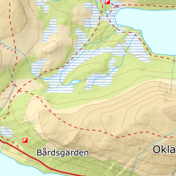
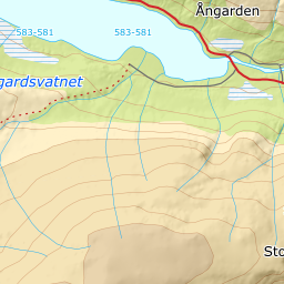
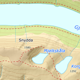
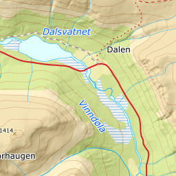
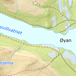
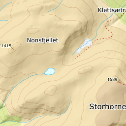
Elevation profile
1025 metres of climbing and 5.99 km from Dalen by Korgtjønna at 1151 m and the rim north of Mjølkskåla at 1290, with the forest letting go at 961 m.
Start at the car park in Dalen, 599 m — a paid plot tagged for skiing, down by Storlidalsvegen. Fri Flyt describes the same start as «the bridge between Dalsvatnet and Ångårdsvatnet»; the bridge is 300 metres away. It climbs from the first step: 11.8 degrees from 600 to 700 m and 19.8 from 700 to 800, through the birch forest that lets go at 961 m.
Route description, descent and avalanche terrain open with a subscription — 14 days free, then 29 kr/month.
Start free trialMore tours in Trollheimen
- Snota1668 m · Demanding
- Storbekkhøa1504 m · Moderate
- Storhornet1589 m · Moderate