HardangerModerateSeason Jan–Apr
Oksen
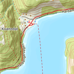
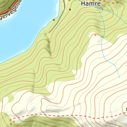
967 metres of climbing in one go, from Tjoflot down by the fjord to a summit that looks out over Hardangerfjorden, Granvinsfjorden, Sørfjorden and Eidfjorden. The tour asks for fitness more than technique.
Summit
1241 m
Vertical gain
↑ 960 m
Typical time
4–6 h
Grade
Moderate
Aspect
SW
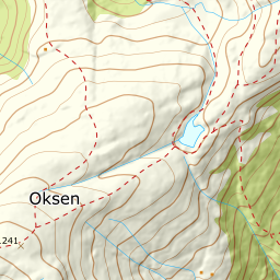
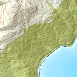
Elevation profile
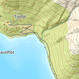
276 m at Tjoflot to the summit of Oksen — 967 metres of climbing over 3.66 km, without a metre given back.
From the pay parking at the top of Tjoflotvegen, 276 m, you follow the tractor road a short way before the path takes over. Expect to carry skis through the forest: the treeline is at 538 m, and most people put them on up at Vindhovden.
Route description, descent and avalanche terrain open with a subscription — 14 days free, then 29 kr/month.
Start free trialMore tours in Hardanger
- Vesoldo1046 m · Moderate
- Gygrastolen1347 m · Demanding
- Juklavasstinden1361 m · Demanding
- Melderskin1426 m · Demanding
- Englafjell1200 m · Demanding