Pilan
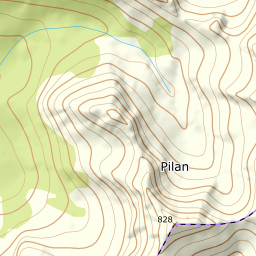
844 metres of ascent over 4.09 km from Laupstad on Austvågøya's quiet north side, with the view into Vesterålen from the cairn. Fri Flyt rates it KAST 1 – Simple with the steepest point under 30 degrees, and most of the line keeps that — steepest 100 m band 21.9 degrees. But the summit cone measures 35.3 degrees in its steepest 30 m window, between 763 and 786 m, and the measurement is the check for the grade: the card carries 3, not the source's number. The ridge gives back 23 vertical metres, and the tour runs from the fjord.
Elevation profile
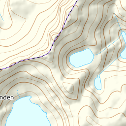
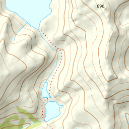
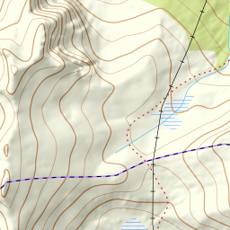
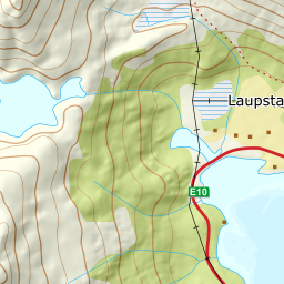
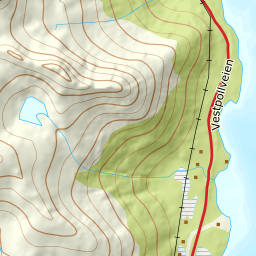
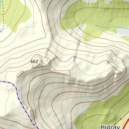
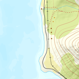
844 metres of ascent and 4.09 km from Laupstad via the lake at 289 and Morfjordskaret, with the treeline at 233 m and the steepest ground — 35.3 degrees between 763 and 786 m — in the summit cone.
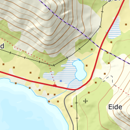
From Laupstad on the county road — 5 m, past the houses and up the valley heading west. The forest ends at 233 m after 1.66 km, and the valley takes you to the lake at 289: the band from 100 to 200 m measures 14.4 degrees, and from 200 to 300 only 8.8.
Route description, descent and avalanche terrain open with a subscription — 14 days free, then 29 kr/month.
Start free trialMore tours in Lofoten
- Geitgaljen1085 m · Expert
- Torskmannen755 m · Demanding
- Rundfjellet803 m · Moderate
- Kleppstadheia534 m · Easy
- Varden (Småtindan)700 m · Moderate
- Himmeltindan956 m · Demanding
- Justadtinden736 m · Moderate
- Stornappstinden740 m · Moderate