Prestholtskarvet
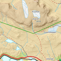
963 metres of climbing and 11.63 km from Havsdalen to the high point at 1860 m, twelve kilometres onto Hallingskarvet. Eight of them are flat: the band from 1200 to 1300 m measures 1.3 degrees over 5130 metres of ground. All the climbing sits in Prestholtskardet — 17.6 degrees from 1500 to 1600 m over 315 metres of ground, with a step of 24.8 degrees between 1323 and 1344.
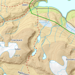
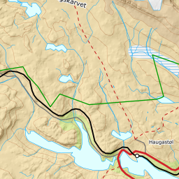
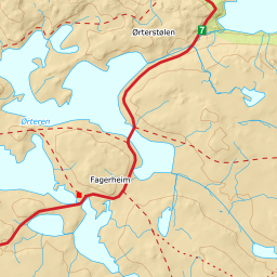
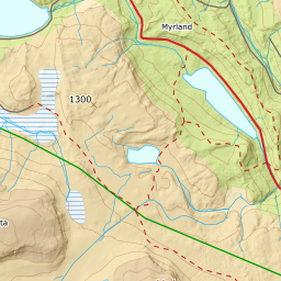
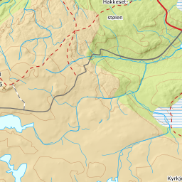
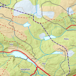
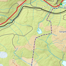
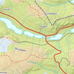
Elevation profile
963 metres of climbing and 11.63 km from Havsdalen past Prestholtstølan at 1243 m and up Prestholtskardet at 1640, with the forest letting go at 1038 m.
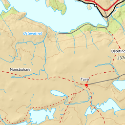
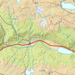
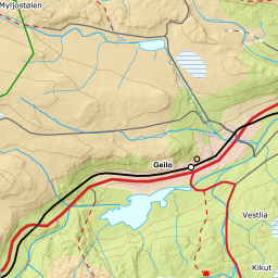
Start at the car park at the bottom of Havsdalen, 963 m — three paid plots side by side, all tagged access=yes in OSM. Ut.no draws its tour from the top of the ski centre, 1070 m, which is convenient when the lift runs; the corridor here starts where the car stands, and the difference between the two starting points is why the climb on the card is larger than ut.no's published 855. The forest lets go at 1048 m and the ground is open from 1051.
Route description, descent and avalanche terrain open with a subscription — 14 days free, then 29 kr/month.
Start free trialMore tours in Geilo
- Ustetind1376 m · Moderate