Ranten
532 metres of climbing over 5.82 km from Tempelseter to the jagged ridge Th. Kittelsen painted as Soria Moria. The climb from Raudmyra is gentle — the steepest sustained section measures 19.6 degrees — and the south side looks gentle for the first hundred metres from the cairn. Then it breaks off at 47 to 60 degrees, and that is the way the marked path goes down.
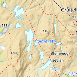
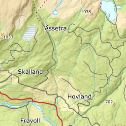
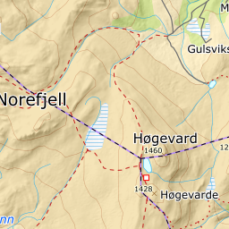
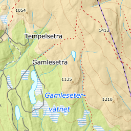
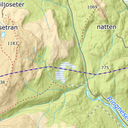
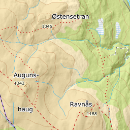
Elevation profile
532 metres of climbing and 5.82 km from Tempelseter by the trail junction at Raudmyra, 1229 m, with the treeline at 938 m and all the climbing in the last two kilometres.
Start at the car park by Tempelseter, 910 m, and follow the T-marked and blue-marked route past the waterfall toward Høgevarde. The forest lets go at 938 m, and the next three kilometres are almost flat: 4.0 degrees from 900 to 1000 m over 1301 metres of ground, 4.6 from 1000 to 1100 over 1304 metres, and 3.3 from 1200 to 1300 over 1666.
Route description, descent and avalanche terrain open with a subscription — 14 days free, then 29 kr/month.
Start free trialMore tours in Norefjell
See all the tours