Råskarfjellet
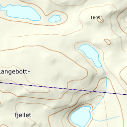
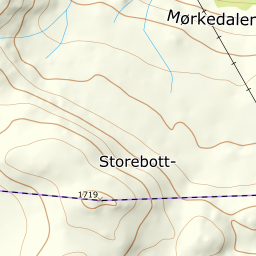
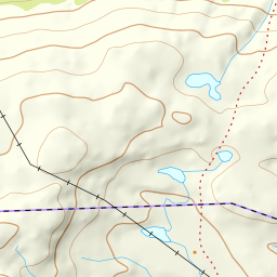
685 metres of climbing and 3.26 km from Sildegjerdet on rv 52 to the cairn at 1610 m — one of the most popular ski-touring mountains in Hemsedal, known simply as «1609». The steepest hundred-metre band is 20.1 degrees between 1100 and 1200 m and the steepest step 24.0 between 1348 and 1368. The summit itself is a plateau, and the hazard here is finding your way.

Elevation profile
685 metres of climbing and 3.26 km from Sildegjerdet at 938 m, into the stream valley at 1051 and over the flat at 1397 to the cairn.
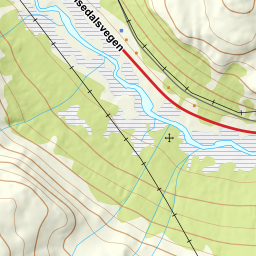
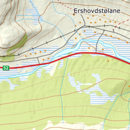
Start at the ploughed lay-by at the summer-farm cluster called Sildegjerdet, 938 m. Fri Flyt: «follow RV52 west from Hemsedal centre for 19.5 km and park in a ploughed lay-by on the left, 1.5 km past the bridge on RV52.» The parking is mapped and free of charge. Rv 52 over Hemsedalsfjellet is open through the winter, but can go to convoy driving or close in bad weather.
Route description, descent and avalanche terrain open with a subscription — 14 days free, then 29 kr/month.
Start free trialMore tours in Hemsedal
- Slettind1592 m · Easy
- Kyrkjebønosi1670 m · Demanding
- Nibbi1740 m · Moderate
- Skogshorn1729 m · Moderate
- Storehorn1482 m · Moderate