JotunheimenModerateSeason Apr–May
Rasletinden
A 2104-metre summit for most people: 778 metres of climbing from Valdresflye, and the steepest sustained section on the line measures 21.7 degrees. What makes the tour demanding is the weather and the plateau — it becomes hard in poor visibility, not in poor snow.
Summit
2104 m
Vertical gain
↑ 778 m
Typical time
4–6 h
Grade
Moderate
Aspect
E
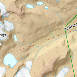
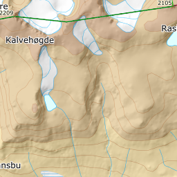
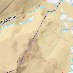
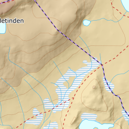
Elevation profile
778 metres of climbing and 7.18 km from Valdresflye, where the first 1.2 kilometres are flat and drop ten metres.
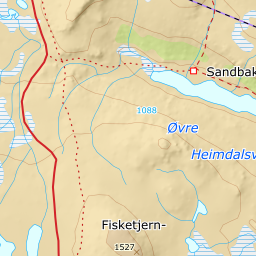
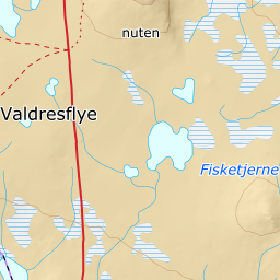
Start at the car park on the east side of fv51 where the Valdresflya hostel stood before the 2015 fire, 1391 m. The road sets the season: fv51 is ploughed through the winter only as far as Bygdin, and the stretch north past the hostel normally opens around 1 April.
Route description, descent and avalanche terrain open with a subscription — 14 days free, then 29 kr/month.
Start free trialMore tours in Jotunheimen
- Glittertinden2451 m · Demanding
- Galdhøpiggen2469 m · Demanding
- Besshø2257 m · Demanding