Rensfjellet
699 metres of climbing and 11.33 km from Håen to the highest point in Melhus, with 168 of those metres given back along the way. The climbing comes last: the steepest hundred-metre band is 11.6 degrees from 700 to 800 m, and the steepest sustained step 19.7 degrees between 663 and 679.
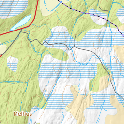
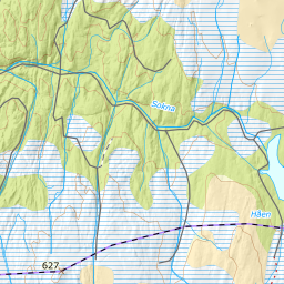
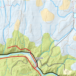
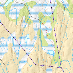
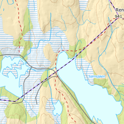
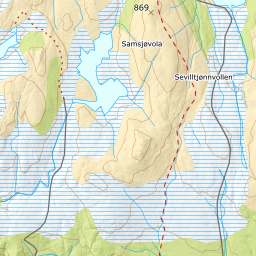
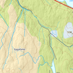
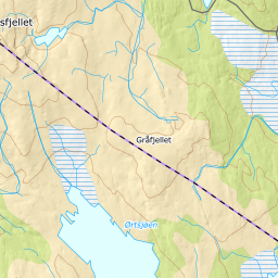
Elevation profile
699 metres of climbing and 11.33 km from Håen by Kråklivollen at 452 m, Rundtjønnin at 526 and the crossing of Oksdalen at 532, with the forest letting go at 562 m.
Start at the car park by Håen, 411 m — the same first three kilometres as Kråkfjellet. The ploughing stops at the car, but Lundadalsvegen does not: it carries on unploughed for 2.6 kilometres east along the north side of the lake, and the line follows it. The water surface of Håen sits at 433 m, the reservoir is drawn down every winter, and ut.no tells you to keep off uncertain ice along the edge.
Route description, descent and avalanche terrain open with a subscription — 14 days free, then 29 kr/month.
Start free trialMore tours in Trøndelag
- Vassfjellet711 m · Easy
- Kråkfjellet815 m · Moderate