Rombakstøtta
Narvik's landmark peak, and a long day in four distinct stages — forest, lake, valley and ridge. The tour asks you to be comfortable with a short scramble on the summit block.
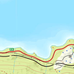
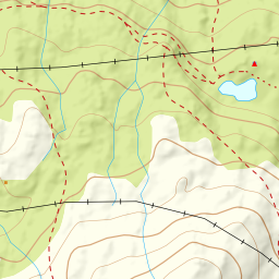
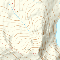
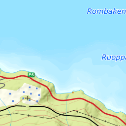
Elevation profile
5.83 km and 1129 m of climbing from the quarry in Forselvveien; the steepest hundred metres sit between 500 and 600 m.
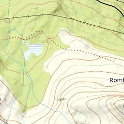
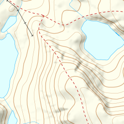
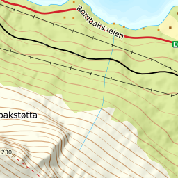
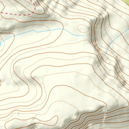
Parking is at the road barrier in Forselvveien above Djupvik. Walk past the barrier to where the road ends in the old quarry at 141 m, then a hundred metres further in the same direction before you head into the forest. The first three hundred metres of climbing are steep and dense; follow the gradually easing ground up and to the left until you stand at Pumpvatnet at 325 m.
Route description, descent and avalanche terrain open with a subscription — 14 days free, then 29 kr/month.
Start free trialMore tours in Narvik
- Spanstinden1457 m · Moderate
- Beisfjordtøtta1448 m · Demanding
- Litletind1100 m · Moderate
- Skjomtinden1576 m · Expert
- Gangnesaksla1318 m · Demanding