Rondslottet
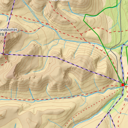
Rondane's highest. A long day where the first six kilometres are pure approach — the mountain starts behind Rondvassbu, and the last 240 metres of climbing run along a narrow ridge.
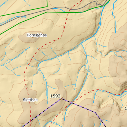
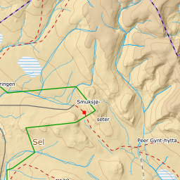
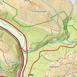
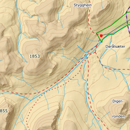
Elevation profile
12.3 km and 1281 vertical metres from Spranget. A hundred of them are given back at Slottsbrue and have to be re-climbed on the ridge.
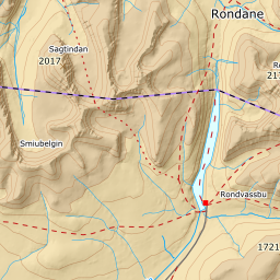
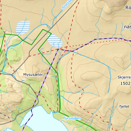
From Spranget car park, 1082 m, it is six kilometres in to Rondvassbu. Tjønnbakkvegen in here is a toll road, and in midwinter Mysusæter is the last ploughed point — which makes the tour correspondingly longer. You are above the treeline from the first metre, so it is open mountain the whole way in. Keep to land around the bay at Lonin at the south end of Rondvatnet rather than taking the shortcut over the ice; this is the outlet end, and the ice is thinnest there. The line here has been moved to do exactly that: it runs west of the bay, over land, and no longer has a single vertex on water. It did have — ninety metres on the ice, up to fifty metres from shore, seventy metres from Lonin — underneath that very sentence.
Route description, descent and avalanche terrain open with a subscription — 14 days free, then 29 kr/month.
Start free trialMore tours in Rondane
- Storronden2139 m · Moderate