Rørnestinden
The friendliest way into the Lyngen Alps: forest road at the bottom, an easy-angled flank above, and a broad summit plateau to put your turns on. The tour for your first Lyngen day, and for the day the rest of the range is too much.
Elevation profile
From 62 m at Eidebakken to 1030 at the top — 1008 metres of climbing over 5.5 kilometres, with a dip at Rørneshytta.
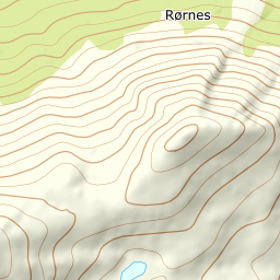
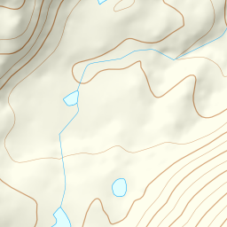
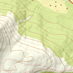
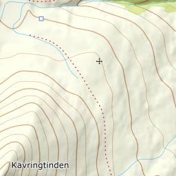
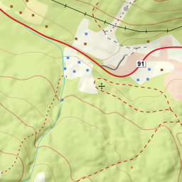
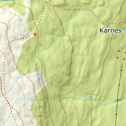
Start from the car park at Eidebakken on the edge of Lyngseidet, at 62 m, in the area by the plastics factory and the shooting range. Follow the forest road inland and up toward Hyttehaugen at 286 m, then on past Skihytta. The birch forest gives up at around 310 m, and from there you can see the rest of the tour ahead of you.
Route description, descent and avalanche terrain open with a subscription — 14 days free, then 29 kr/month.
Start free trialMore tours in Lyngen
- Storgalten1219 m · Demanding
- Fastdalstinden1275 m · Demanding
- Kavringtinden1289 m · Demanding