Rundfjellet
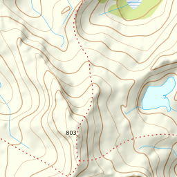
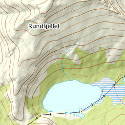
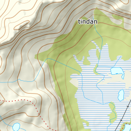
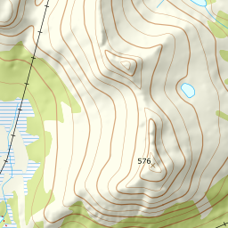
890 metres of ascent over 5.28 km from the sea at Vatterfjordpollen to Svolvær's nearest classic — a simple summit with many variants according to utemagasinet, where the line along the ridge is the point: stay on top of it, says Fri Flyt, because the surrounding terrain is avalanche-prone, and the measurement agrees — the south sector the ridge uses measures 13.7 degrees mean while every other side of the summit has windows of 40 to 65. The ridge gives back 93 vertical metres along the way, which is why the card carries 890 where the source counts 800.
Elevation profile
890 metres of ascent and 5.28 km from Vatterfjordpollen up the south ridge and along the ridge-top, with the treeline at 94 m and the steepest ground — 31.2 degrees between 624 and 644 m — where the ridge turns west.
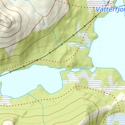
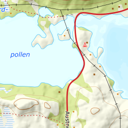
From the car park at Vatterfjordpollen on the E10, ten kilometres from Svolvær toward Fiskebøl. The line on the map begins on the west side of the small bridge over the tidal stream — the terrain model records the strait as sea and the bridge does not exist in it, so the walk across from the car park lives here rather than in the geometry. Then along the right side of the poll and in across the moor to the mountain's foot: the band from 0 to 100 m measures 3.0 degrees over nearly two kilometres, and the forest ends already at 94 m after 1.93 km.
Route description, descent and avalanche terrain open with a subscription — 14 days free, then 29 kr/month.
Start free trialMore tours in Lofoten
- Pilan826 m · Demanding
- Geitgaljen1085 m · Expert
- Torskmannen755 m · Demanding
- Kleppstadheia534 m · Easy
- Varden (Småtindan)700 m · Moderate
- Himmeltindan956 m · Demanding
- Justadtinden736 m · Moderate
- Stornappstinden740 m · Moderate