Sæbyggjenuten
Agder's highest — barely: the county line crosses the summit itself, and the registered high point at 1506 m lies in Tokke in Telemark, ten metres east of the Agder side, which reaches 1504. A tour where the number that matters is 11.31 km rather than 851 metres of climbing. No path, no marking, three passes and a lake along the way, and terrain so gentle that the steepest 400-metre window measures 13.7 degrees. The only steep ground on the mountain faces north, and you are not going there.
Elevation profile
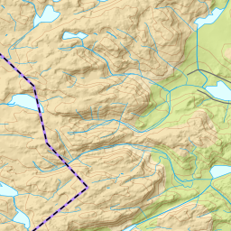
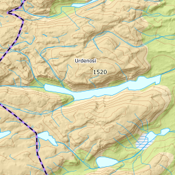
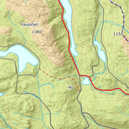
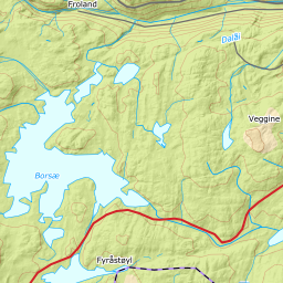
851 metres of climbing and 11.31 km from Berdalen over the Tverrheiskar passes and Midtre Gjuvvatn, where everything steep faces north and the route stays west.
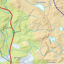
From the car park at the barrier at the far end of Berdalen hyttegrend, 810 m, the route runs east. The bearing from the car park to the summit is 82 degrees — Berdalen lies west of the mountain, and you head toward it all day. Riksveg 9 between Bykle and Hovden is ploughed all winter, and ut.no is explicit that you do not drive the last kilometre past the barrier: «Veien er privat.» The first kilometre shares ground with the groomed tracks in Berdalen; the line here is the terrain line, not the track.
Route description, descent and avalanche terrain open with a subscription — 14 days free, then 29 kr/month.
Start free trial