Sandhornet
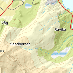
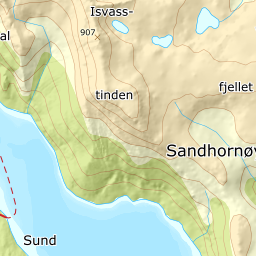
1021 metres of ascent and 5.01 km from the shore at Horsdal — the island mountain south-west of Bodø that Fri Flyt calls one of the most beautiful coastal peaks in the area. The mountain stands in Gildeskål; the card carries Bodø the way Strandtinden carries Harstad, because that is where the day starts. The line stays under 30 degrees except for the last fifty vertical metres — and the steepest sustained stretch on the line, 32.5 degrees, is not up there at all — it is in the stairs between 26 and 51 metres, where the skis are on the pack anyway — and the source's hazard text is not about steepness but about the runout zones the line crosses in Stjerndalen.
Elevation profile
1021 metres of ascent and 5.01 km from the shore at Horsdal — the stairs to Stjerndalen, gentle ridges, and 32.5 degrees in the last fifty vertical metres.
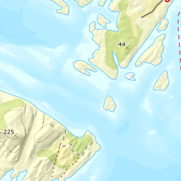
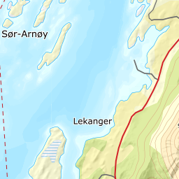
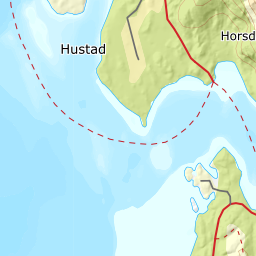
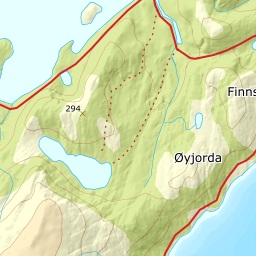
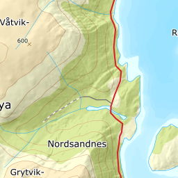
From the farm at Horsdal, 10 metres, follow the marked path along the shore south-east for about a kilometre — 28 metres at its highest, with the sea right beside you. Then the path turns north-east and climbs steeply via the stairs; here the skis go on the pack. Where the stairs end the ground levels at about 190 metres — measured 189 — and the skis go back on.
Route description, descent and avalanche terrain open with a subscription — 14 days free, then 29 kr/month.
Start free trialMore tours in Bodø
- Midtitinden1060 m · Moderate