Sætertinden
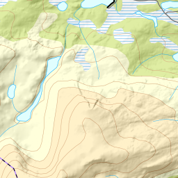
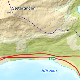
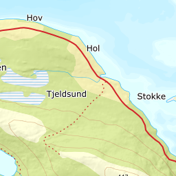
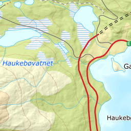
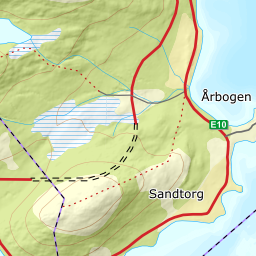
1113 metres of ascent over 6.05 km from the Sandtorg sports ground at Årbogen to Tjeldsund's highest — staked from 500 m, with the telephone poles as pilot for the last 200 vertical metres and an emergency shelter on the ridge at 700. The steepest hundred-metre band measures 21.2 degrees between 900 and 1000 m, the steepest sustained stretch 26.9 between 827 and 850 — KAST 1 by Fri Flyt, and the measurement agrees. The mountain's steep sides exist, but they face south and west, where the normal route does not go.
Elevation profile
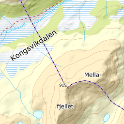
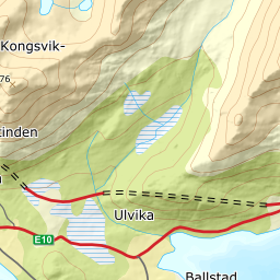
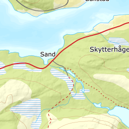
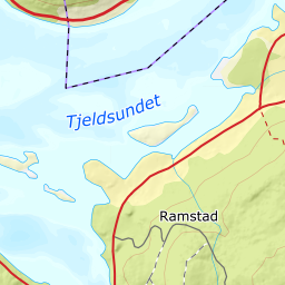
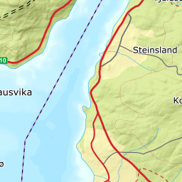
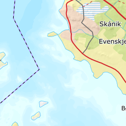
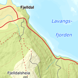
1113 metres of ascent and 6.05 km from the Sandtorg sports ground along the tractor road, south of Årbogvatnet and up the staked east ridge — the treeline at 348 m, and the steepest band, 21.2 degrees, between 900 and 1000 m.
From the big car park at the Sandtorg sports ground — 15 m, and the round's only start with parking mapped in OSM — follow the tractor road on the south side of Årbogelva, 63 m where the line uses it. The forest ends as early as 348 m after 2.79 km; the band from 200 to 300 m measures 5.3 degrees, so the walk-in is gentle.
Route description, descent and avalanche terrain open with a subscription — 14 days free, then 29 kr/month.
Start free trialMore tours in Harstad
- Hattfjellet857 m · Demanding
- Stortussen945 m · Demanding
- Litletussen795 m · Demanding
- Slåttheia694 m · Moderate
- Skjellesvikgalten987 m · Expert
- Nona1009 m · Expert
- Trolltinden918 m · Demanding
- Årbostadtinden1179 m · Expert
- Klåptinden998 m · Demanding
- Toppen759 m · Expert
- Lundenesgalten787 m · Demanding
- Middagstinden på Andørja630 m · Moderate
- Skartinden1149 m · Expert
- Langlitinden1276 m · Expert
- Kråkrøtinden1186 m · Expert
- Ristinden1056 m · Expert
- Snøtinden1215 m · Expert
- Storhornet i Kvæfjord722 m · Easy
- Vetefjellet547 m · Moderate
- Storlitinden613 m · Easy
- Stortinden på Rolla1020 m · Expert
- Rundtinden872 m · Demanding
- Sula848 m · Moderate
- Heia527 m · Easy
- Hinnstein560 m · Demanding
- Lasselitinden896 m · Demanding
- Hemmestadfjellet686 m · Moderate
- Middagstinden i Kvæfjord922 m · Expert
- Nattmålsfjellet546 m · Demanding
- Horntindan911 m · Expert
- Tverrfjellet889 m · Moderate
- Sørvikfjellet607 m · Expert
- Melåaksla916 m · Moderate
- Rundfjellet i Harstad868 m · Moderate
- Jakobstinden976 m · Demanding
- Haukebøtinden905 m · Moderate
- Reinspælen1117 m · Expert
- Kongsviktinden980 m · Demanding
- Snøtinden i Tjeldsund980 m · Moderate
- Taraldsviktinden776 m · Demanding
- Nonstinden930 m · Expert
- Snøtindan996 m · Expert
- Fiskefjordtindan965 m · Demanding
- Middagsfjellet810 m · Demanding
- Strandtinden1076 m · Demanding
- Jotind979 m · Expert
- Siriskolten659 m · Easy
- Trollfjellet1009 m · Moderate
- Helligtinden948 m · Demanding