Sebortinden
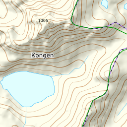
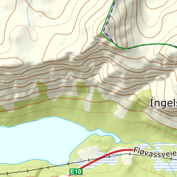
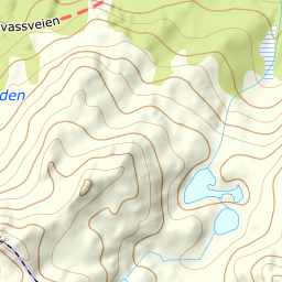
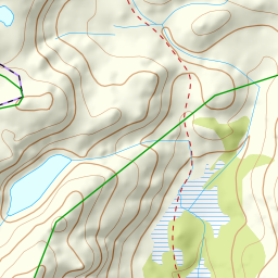
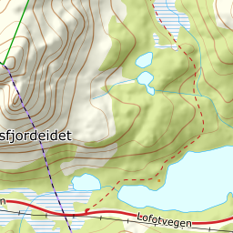
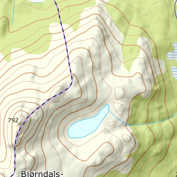
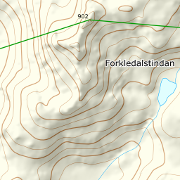
894 metres of ascent over 3.99 km from the car park on the E10 south of Litlvatnet — the same one as Møysalen — to Sebortinden: 830.8 on screen against the published 834. The north side: up Forkledalen, the south side of the stream along the ridge, and the traverse on the east ridge's flank towards the fore-summit east of point 799. KAST 3 – Complex with ice axe and crampons; the final push is around 30 degrees. Grade 4.
Elevation profile
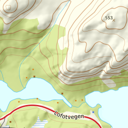
894 metres of ascent over 3.99 km from Møysalen's car park on the E10: Forkledalen, the south side of the stream — and the traverse on the east ridge's flank towards the fore-summit east of 799, before the final push to the cairn at 831.
From the big car park on the E10 — 23 m, Møysalen's spot — the line climbs Forkledalen, 136 m where the corridor stands in the valley. The treeline sits at 195 after 2.07 km, and the band from 100 to 200 measures 3.8 degrees along the long valley floor.
Route description, descent and avalanche terrain open with a subscription — 14 days free, then 29 kr/month.
Start free trialMore tours in Vesterålen
- Stortinden i Sortland1020 m · Expert
- Møysalen1264 m · Expert
- Forselvtinden907 m · Expert
- Forkledalstindan901 m · Expert
- Lakselvtindan747 m · Demanding
- Kvasstinden832 m · Moderate