Skåla
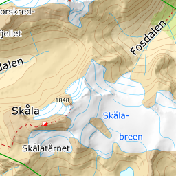
From Tjugen in Loen to 1848 m: 1818 vertical metres in one unbroken climb, and one of the longest descents in the country. The tour asks for fitness and visibility, not steep-skiing technique.
Elevation profile
1818 vertical metres from Tjugen to the summit — the steepest hundred sit between 1400 and 1500 m.
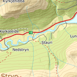
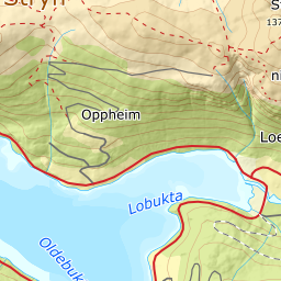
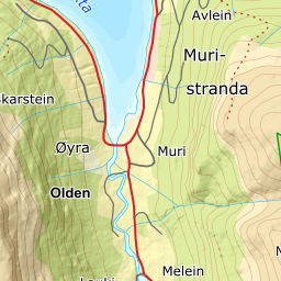
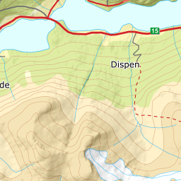
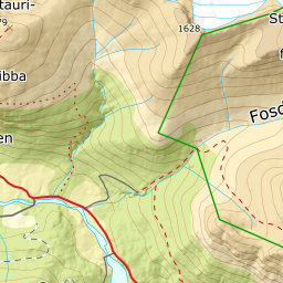
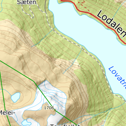
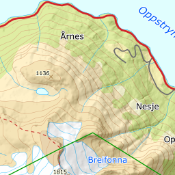
From the Tjugen car park on Lodalsvegen, 34 m, follow the tractor road that becomes Kloumannstien and climbs into Fosdalen. The car park charges, paid by Vipps to Skåla Parkering — it is the same one used for the Skåla Opp race. The first 540 metres are on road; then the path takes over. The forest lets go at around 426 m, at Tyvasætra, and from mid-May reckon on carrying your skis up to Tjugensætra at about 750 m.
Route description, descent and avalanche terrain open with a subscription — 14 days free, then 29 kr/month.
Start free trialMore tours in Nordfjord
- Glitregga1297 m · Moderate
- Skarsteinsfjellet1567 m · Moderate
- Lodalskåpa2082 m · Expert