Skarlitinden
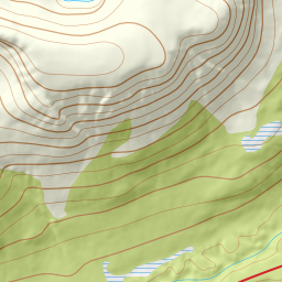
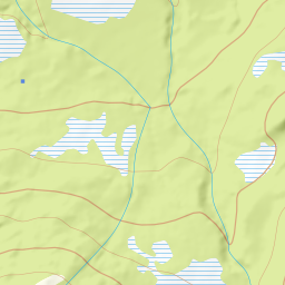
937 metres of ascent over 6.34 km from Sandeggen on Breivikeidet to the cairn at 857 — a KAST 1 tour with the steepest point under 27 degrees on the route itself, where the surrounding terrain is the story: the river valley you follow can act as a terrain trap for avalanches off the slopes to the north, and the couloirs on the southeast side fall 41 degrees mean toward the valley you came from. The line collects a hundred-odd vertical metres more than the source's 835, because the col and the plateau give back 110 along the way.
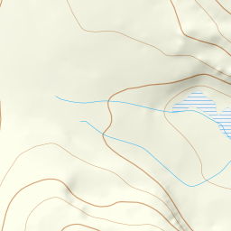
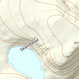
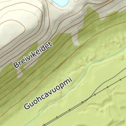
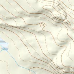
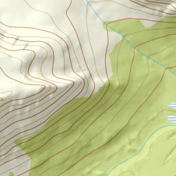
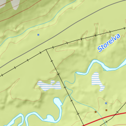
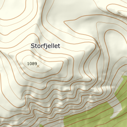
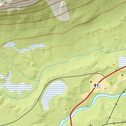
Elevation profile
937 metres of ascent and 6.34 km from Sandeggen through Russevankskaret, with the treeline at 318 m and the steepest ground — 30.5 degrees — in the dip after point 511.
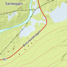
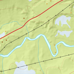
From the forest road at Sandeggen — 31 m on Breivikeidvegen, the fv. 91, a winter-open main road — you follow the road in and branch off along the north side of Russevankelva, up through bouldery ground. The band from 100 to 200 m measures 14.7 degrees; the forest ends already at 318 m after 2.42 km, with open ground from 327.
Route description, descent and avalanche terrain open with a subscription — 14 days free, then 29 kr/month.
Start free trialMore tours in Troms
- Store Skalltinden901 m · Demanding
- Store Blåmann1044 m · Demanding
- Kjølen790 m · Easy
- Rødtinden470 m · Easy
- Storfjellet1088 m · Demanding
- Tromsdalstinden1238 m · Moderate
- Gabrielfjellet1214 m · Demanding
- Hamperokken1397 m · Expert
- Fagerfjellet957 m · Moderate
- Vestre Istinden1489 m · Demanding