NordfjordModerateSeason Jan–Apr
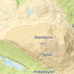
Skarsteinsfjellet
1219 metres of climbing over 5.84 km from Innvikdalen, up a ridge that stays even from the treeline to the cairn. The steepest sustained section measures 25.0 degrees and sits low, at 520 m; above 800 m the line never exceeds 16 degrees in any hundred-metre band.
Summit
1567 m
Vertical gain
↑ 1220 m
Typical time
5–7 h
Grade
Moderate
Aspect
W
Elevation profile
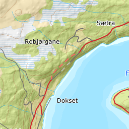
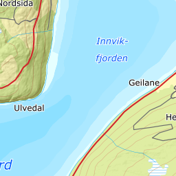
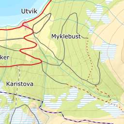
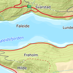
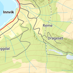
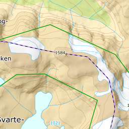
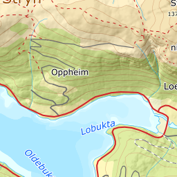
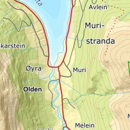
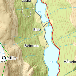
1219 metres of climbing and 5.84 km from Dragesetvegen in Innvikdalen, over Remestøylen and Hestehytta, with the treeline at 805 m.
Start at the gate on Dragesetvegen at the head of Innvikdalen, 349 m, up the valley from Innvik. The tractor road takes you to Remestøylen at 596 m; the band from 300 to 400 m measures 7.1 degrees and 400 to 500 m runs at 10.6.
Route description, descent and avalanche terrain open with a subscription — 14 days free, then 29 kr/month.
Start free trialMore tours in Nordfjord
- Glitregga1297 m · Moderate
- Skåla1848 m · Demanding
- Lodalskåpa2082 m · Expert