Skartinden
1193 metres of ascent over 3.92 km from Vang to Skartinden at 1149 — the same turnaround as Langlitinden, the opposite direction: up the river valley to Ytterholla, the col between Vasskartinden and Skartinden, and the ridge or the broad flat east to the summit. KAST 3 – Complex with ice axe and crampons; the descent is 30–40 degrees at the top with 60-degree cliffs around Ytterholla. Grade 4.
Elevation profile
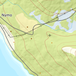
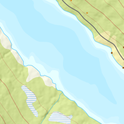
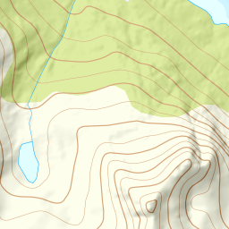
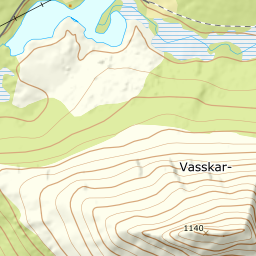
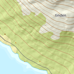
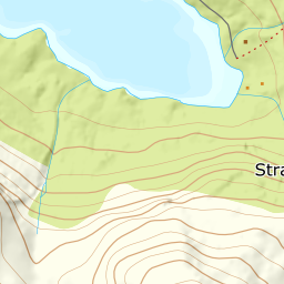
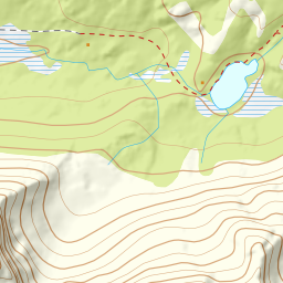
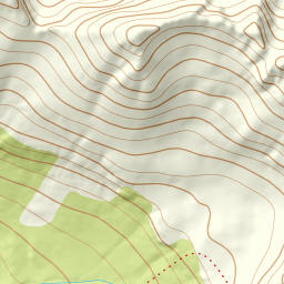
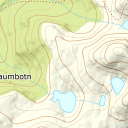
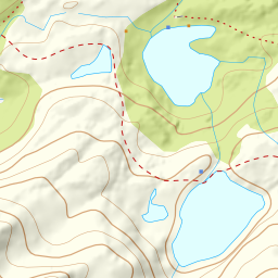
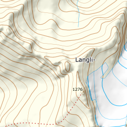
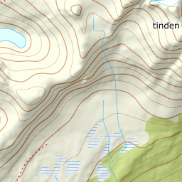
1193 metres of ascent over 3.92 km from Vang: the river valley to Ytterholla at 497, over the col — the line at 867, the floor at 795 — and the flat east to the cairn at 1149, with the steepest single step, 38.1 degrees, between 869 and 895 m.
From the turnaround at Vang — 8 m — the line runs north up the river valley: 195 m where the corridor stands in the valley, and the treeline already at 492 after 1.62 km. The band from 300 to 400 measures 20.9 degrees through the hillside.
Route description, descent and avalanche terrain open with a subscription — 14 days free, then 29 kr/month.
Start free trialMore tours in Harstad
- Hattfjellet857 m · Demanding
- Stortussen945 m · Demanding
- Litletussen795 m · Demanding
- Slåttheia694 m · Moderate
- Skjellesvikgalten987 m · Expert
- Nona1009 m · Expert
- Trolltinden918 m · Demanding
- Årbostadtinden1179 m · Expert
- Klåptinden998 m · Demanding
- Toppen759 m · Expert
- Lundenesgalten787 m · Demanding
- Middagstinden på Andørja630 m · Moderate
- Langlitinden1276 m · Expert
- Kråkrøtinden1186 m · Expert
- Ristinden1056 m · Expert
- Snøtinden1215 m · Expert
- Storhornet i Kvæfjord722 m · Easy
- Vetefjellet547 m · Moderate
- Storlitinden613 m · Easy
- Stortinden på Rolla1020 m · Expert
- Rundtinden872 m · Demanding
- Sula848 m · Moderate
- Heia527 m · Easy
- Hinnstein560 m · Demanding
- Lasselitinden896 m · Demanding
- Hemmestadfjellet686 m · Moderate
- Middagstinden i Kvæfjord922 m · Expert
- Nattmålsfjellet546 m · Demanding
- Horntindan911 m · Expert
- Tverrfjellet889 m · Moderate
- Sørvikfjellet607 m · Expert
- Melåaksla916 m · Moderate
- Rundfjellet i Harstad868 m · Moderate
- Jakobstinden976 m · Demanding
- Haukebøtinden905 m · Moderate
- Reinspælen1117 m · Expert
- Sætertinden1095 m · Moderate
- Kongsviktinden980 m · Demanding
- Snøtinden i Tjeldsund980 m · Moderate
- Taraldsviktinden776 m · Demanding
- Nonstinden930 m · Expert
- Snøtindan996 m · Expert
- Fiskefjordtindan965 m · Demanding
- Middagsfjellet810 m · Demanding
- Strandtinden1076 m · Demanding
- Jotind979 m · Expert
- Siriskolten659 m · Easy
- Trollfjellet1009 m · Moderate
- Helligtinden948 m · Demanding