Skarven
744 metres of ascent over 3.34 km from the car park in Skorgedalen to one of Romsdalen's great classics — the tour ut.no calls one of the shortest in the area and still one of the big ones. Fri Flyt rates it KAST 1 – Simple with the steepest point under 30 degrees, and the finished line stays inside that: the steepest 100 m band measures 20.5 degrees between 400 and 500 m, the steepest sustained stretch 27.7. What needs your head is not the line up but the east flank below the fore-summit — the one the source itself tells you not to cross.
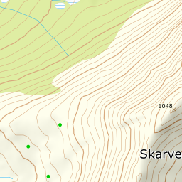
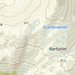
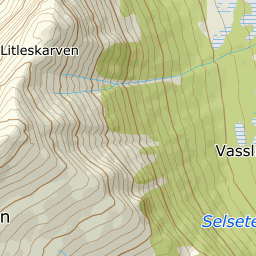
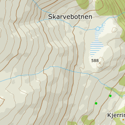
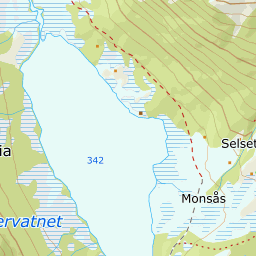
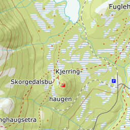
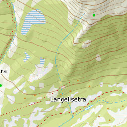
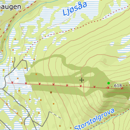
Elevation profile
744 metres of ascent and 3.34 km from Skorgedalen past Kjerringhaugen and the southern fore-summit, with the treeline at 556 m and the steepest ground — 27.7 degrees between 937 and 960 m — up on the ridge.
From the car park in Skorgedalen, 307 m on the toll road from Skorga on the E136 — open in winter, and mapped as a car park in OSM. From its northwest corner you cross the flat — bog in Kartverket's classes, 350 m where the line takes it — north of Kjerringhaugen and the DNT hut Skorgedalsbu. Then up through the birch forest: the band from 400 to 500 m is the steepest of the tour, 20.5 degrees over 295 metres of ground, and the forest ends at 556 m after 1.35 km, with open ground from 557.
Route description, descent and avalanche terrain open with a subscription — 14 days free, then 29 kr/month.
Start free trialMore tours in Romsdal
- Kirketaket1439 m · Moderate
- Mjølvafjellet1215 m · Moderate
- Blånebba1317 m · Demanding
- Øspetinden1228 m · Demanding
- Middagstinden1568 m · Expert