Slettind
474 metres of climbing and 2.50 km from the rv 52 at Eldrevatn to the cairn at 1592 m. The steepest hundred-metre band is the top one — 17.7 degrees from 1500 to 1600 m over 285 metres of ground — and the steepest sustained step is 22.5 degrees between 1527 and 1546. The route is above the treeline the whole way.
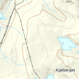
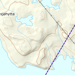
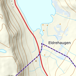
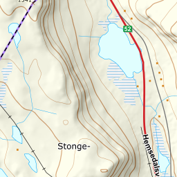
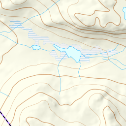

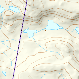
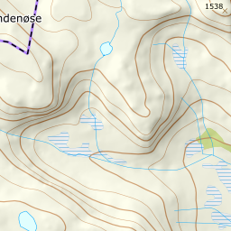
Elevation profile
474 metres of climbing and 2.48 km from Eldrevatn up the north-west flank via 1325 m, in open ground from the first step.
Start on the made-up plot at the county boundary by Eldrevatn, 1122 m, right on the rv 52 over Hemsedalsfjellet. Fri Flyt puts it as briefly as it can be put: «park at the car park just before Eldrevann and set a course south-east. From here the route gives itself to the top of Slettind.»
Route description, descent and avalanche terrain open with a subscription — 14 days free, then 29 kr/month.
Start free trialMore tours in Hemsedal
- Kyrkjebønosi1670 m · Demanding
- Nibbi1740 m · Moderate
- Råskarfjellet1610 m · Moderate
- Skogshorn1729 m · Moderate
- Storehorn1482 m · Moderate