Slogen
The queen of the Sunnmøre Alps, and one of the most serious tours in the region. 1535 vertical metres from Norangsdalen to a summit most people walk the last 350 metres to.
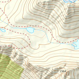
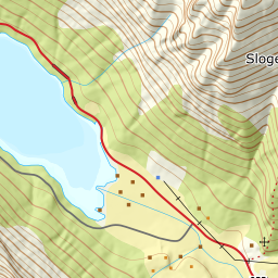
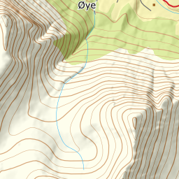
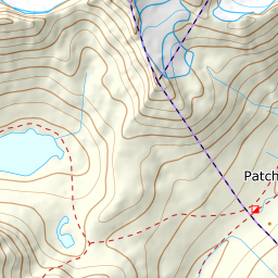
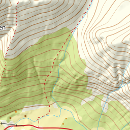
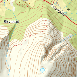
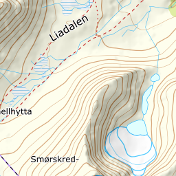
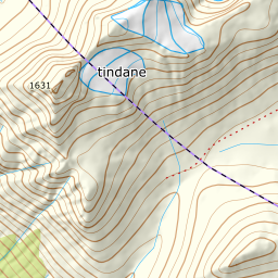
Elevation profile
85 m at Skylstad to 1564 on Slogen — 1520 vertical metres over 5.81 kilometres, the last 350 on foot.
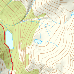
From the lay-by at Skylstad in Norangsdalen, 85 m, you climb straight up Brekkheida. Stay west of Brekkeelva the whole way through the forest — the river runs a couple of hundred metres east of the line, and you only meet the watercourse up on the flat around 700 m. This is the steepest part of the forest: the hundred metres between 200 and 300 m average 21.9°, and the hundred below, 100 to 200 m, 19.0°.
Route description, descent and avalanche terrain open with a subscription — 14 days free, then 29 kr/month.
Start free trialMore tours in Sunnmøre
- Auskjeret1203 m · Moderate
- Jønshornet1417 m · Expert
- Ytstevasshornet1331 m · Demanding
- Råna1587 m · Demanding
- Kolåstinden1432 m · Demanding
- Vassdalstinden1278 m · Demanding
- Saudehornet1303 m · Demanding
- Torvløysa1851 m · Moderate
- Skårene1830 m · Demanding
- Melshornet809 m · Easy
- Jakta1589 m · Demanding
- Skårasalen1542 m · Demanding
- Kvitegga1700 m · Demanding
- Hornindalsrokken1527 m · Expert
- Sunndalsnipa1395 m · Moderate
- Eidskyrkja1482 m · Demanding