Snøhetta
Norway's highest mountain outside Jotunheimen, and one of the kindest in its class: the east ridge is staked the whole way and the steepest section on the line measures 23.5°. What decides the day is not the mountain but how you get in to Snøheim.
Elevation profile
5.7 km and 817 vertical metres from Snøheim — steadily uphill the whole way, and never steeper than 23.5°.
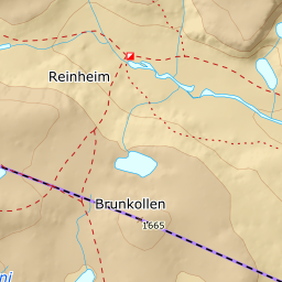
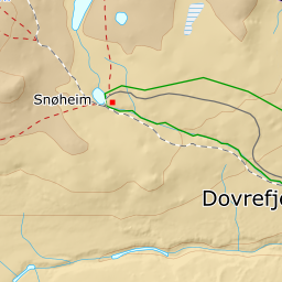
Snøheim turisthytte, 1474 m, sits at the end of Snøheimvegen. The road is closed to private cars, cycling is allowed only in the 1 June–15 July window for the sake of the wild reindeer — e-bikes are banned year round. The bus from Hjerkinn only runs once the hut opens around midsummer. In the ski season you therefore cover the fourteen kilometres in from Hjerkinn under your own steam — that is the part of the day people underestimate. From the hut follow the track a couple of hundred metres west to the footbridge over Stridåe. The bridge is at the south-east corner of the tarn just west of the hut; you go around the tarn's southern shore, not across it.
Route description, descent and avalanche terrain open with a subscription — 14 days free, then 29 kr/month.
Start free trial