Snota
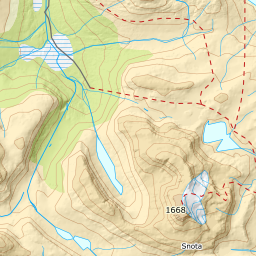
1268 metres of climbing and 10.22 km from Gråhaugen to the highest mountain in northern Trollheimen. The route runs in avalanche terrain from Litj-Snota up, crosses 404 metres of glacier between 1364 and 1463 m, and the summit flank falls 48.1 degrees to the east.
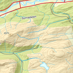
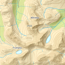
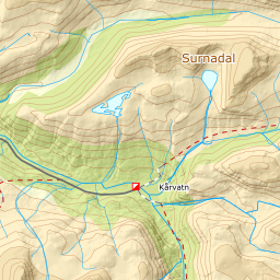
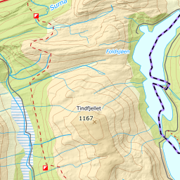
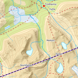
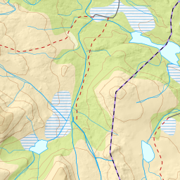
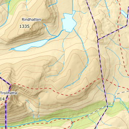
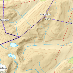
Elevation profile
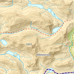
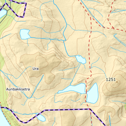
1268 metres of climbing and 10.22 km from Gråhaugen by the plateau east of Midtveggen at 931 m, Svartvatnet at 888 and the flat at 1352, with the glacier from 1364 to 1463 m.
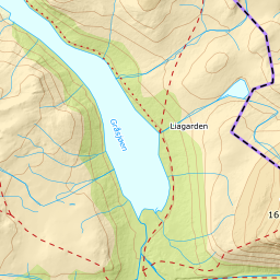
Start at the car park by the dam on Gråsjøen, 495 m — 15 km of toll road up Folldalsvegen, paid by card. Follow the line of the road along the lake until the summer path slants up the hillside, and not earlier: ut.no warns that avalanches run from the snowfield on Gråhaugfjellet, and that in some years they reach the water.
Route description, descent and avalanche terrain open with a subscription — 14 days free, then 29 kr/month.
Start free trialMore tours in Trollheimen
- Storbekkhøa1504 m · Moderate
- Okla1582 m · Moderate
- Storhornet1589 m · Moderate