Snøtindan
1544 metres of ascent over 8.80 km for a 996 summit — Snøtindan is the tour where the col costs more than the top: 561 metres are given back along the way, over Løbergskaret and the tarn shelves, and the line keeps to land past all the lakes where the source crosses on ice. KAST 3 – Complex with ice axe and crampons, 8–9 hours by the source, and a 30–40 degree summit slope at the end. The register writes Snytindan; ut.no writes Stor Snytindan; the card follows Fri Flyt.
Elevation profile
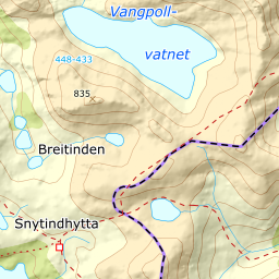
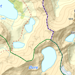
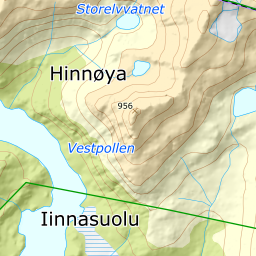
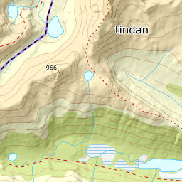
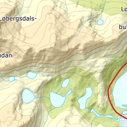
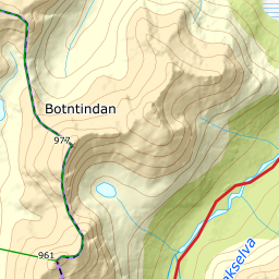
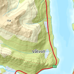
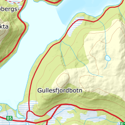
1544 metres of ascent and 8.80 km from Løbergsbukta up the middle of Løbergsdalen, over Løbergskaret and past the lakes on land, with the treeline at 287 m and the steepest ground — 33.8 degrees between 947 and 974 m — in the summit slope.
From the parking along the fv. 85 at Løbergsbukta — 13 m where the road rounds the bay. Løbergsdalen has runout zones on both sides, and the source's rule is precise: walk the middle of the valley. The bands from 100 to 400 measure 20 to 22 degrees — the tour's steepest hundred-metre band, 22.1, is here — and the forest ends already at 287 m after 1.3 km.
Route description, descent and avalanche terrain open with a subscription — 14 days free, then 29 kr/month.
Start free trialMore tours in Harstad
- Hattfjellet857 m · Demanding
- Stortussen945 m · Demanding
- Litletussen795 m · Demanding
- Slåttheia694 m · Moderate
- Skjellesvikgalten987 m · Expert
- Nona1009 m · Expert
- Trolltinden918 m · Demanding
- Årbostadtinden1179 m · Expert
- Klåptinden998 m · Demanding
- Toppen759 m · Expert
- Lundenesgalten787 m · Demanding
- Middagstinden på Andørja630 m · Moderate
- Skartinden1149 m · Expert
- Langlitinden1276 m · Expert
- Kråkrøtinden1186 m · Expert
- Ristinden1056 m · Expert
- Snøtinden1215 m · Expert
- Storhornet i Kvæfjord722 m · Easy
- Vetefjellet547 m · Moderate
- Storlitinden613 m · Easy
- Stortinden på Rolla1020 m · Expert
- Rundtinden872 m · Demanding
- Sula848 m · Moderate
- Heia527 m · Easy
- Hinnstein560 m · Demanding
- Lasselitinden896 m · Demanding
- Hemmestadfjellet686 m · Moderate
- Middagstinden i Kvæfjord922 m · Expert
- Nattmålsfjellet546 m · Demanding
- Horntindan911 m · Expert
- Tverrfjellet889 m · Moderate
- Sørvikfjellet607 m · Expert
- Melåaksla916 m · Moderate
- Rundfjellet i Harstad868 m · Moderate
- Jakobstinden976 m · Demanding
- Haukebøtinden905 m · Moderate
- Reinspælen1117 m · Expert
- Sætertinden1095 m · Moderate
- Kongsviktinden980 m · Demanding
- Snøtinden i Tjeldsund980 m · Moderate
- Taraldsviktinden776 m · Demanding
- Nonstinden930 m · Expert
- Fiskefjordtindan965 m · Demanding
- Middagsfjellet810 m · Demanding
- Strandtinden1076 m · Demanding
- Jotind979 m · Expert
- Siriskolten659 m · Easy
- Trollfjellet1009 m · Moderate
- Helligtinden948 m · Demanding