Snøtinden
1242 metres of ascent over 6.76 km from Ånstad to the great classic of Andørja — the island Fri Flyt calls packed with summits. The source rates it KAST 3 – Complex with ice axe and crampons on the gear list and five named descents, several holding 45 degrees; Vestsiden, the line on this card, is the mildest of them, and the climb itself measures 22.7 degrees in its steepest hundred-metre band and 28.1 in its steepest sustained stretch. The card carries grade 4: the mountain around the line is why.
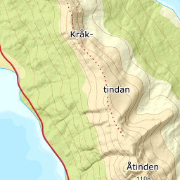
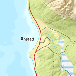
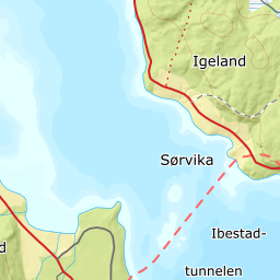
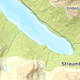
Elevation profile
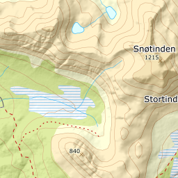
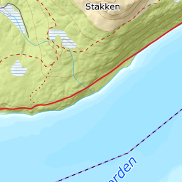
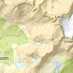
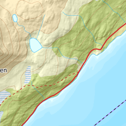
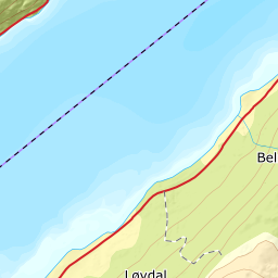
1242 metres of ascent and 6.76 km from Ånstad east of Snøfjellelva and south of Snøfjellvatnet, with the treeline at 402 m and the steepest ground — 28.1 degrees between 630 and 648 m — in the forest slope.
From the sports ground by the school at Ånstad — 9 m on farmland by the county road. You follow the road toward Kvantobotn (91 m where the line branches off), cross Kvantoelva and climb the forest east of Snøfjellelva: the bands from 100 to 400 m measure 7 degrees over road and moor, then it steepens — 20.9 degrees from 400 to 500 and the tour's steepest band, 22.7 degrees over 253 metres of ground, from 500 to 600, with the steepest sustained stretch at 28.1 between 630 and 648 m. The forest ends at 402 m after 4.27 km.
Route description, descent and avalanche terrain open with a subscription — 14 days free, then 29 kr/month.
Start free trialMore tours in Harstad
- Hattfjellet857 m · Demanding
- Stortussen945 m · Demanding
- Litletussen795 m · Demanding
- Slåttheia694 m · Moderate
- Skjellesvikgalten987 m · Expert
- Nona1009 m · Expert
- Trolltinden918 m · Demanding
- Årbostadtinden1179 m · Expert
- Klåptinden998 m · Demanding
- Toppen759 m · Expert
- Lundenesgalten787 m · Demanding
- Middagstinden på Andørja630 m · Moderate
- Skartinden1149 m · Expert
- Langlitinden1276 m · Expert
- Kråkrøtinden1186 m · Expert
- Ristinden1056 m · Expert
- Storhornet i Kvæfjord722 m · Easy
- Vetefjellet547 m · Moderate
- Storlitinden613 m · Easy
- Stortinden på Rolla1020 m · Expert
- Rundtinden872 m · Demanding
- Sula848 m · Moderate
- Heia527 m · Easy
- Hinnstein560 m · Demanding
- Lasselitinden896 m · Demanding
- Hemmestadfjellet686 m · Moderate
- Middagstinden i Kvæfjord922 m · Expert
- Nattmålsfjellet546 m · Demanding
- Horntindan911 m · Expert
- Tverrfjellet889 m · Moderate
- Sørvikfjellet607 m · Expert
- Melåaksla916 m · Moderate
- Rundfjellet i Harstad868 m · Moderate
- Jakobstinden976 m · Demanding
- Haukebøtinden905 m · Moderate
- Reinspælen1117 m · Expert
- Sætertinden1095 m · Moderate
- Kongsviktinden980 m · Demanding
- Snøtinden i Tjeldsund980 m · Moderate
- Taraldsviktinden776 m · Demanding
- Nonstinden930 m · Expert
- Snøtindan996 m · Expert
- Fiskefjordtindan965 m · Demanding
- Middagsfjellet810 m · Demanding
- Strandtinden1076 m · Demanding
- Jotind979 m · Expert
- Siriskolten659 m · Easy
- Trollfjellet1009 m · Moderate
- Helligtinden948 m · Demanding