Spanstinden
1047 metres of ascent over 5.24 km from Bukkemyrvatnet on Gratangsfjellet — a classic so popular that on sunny days you can almost count on company, says ut.no. Fri Flyt rates it KAST 1 – Easy, and the line keeps it: steepest hundred-metre band 18.8 degrees and steepest sustained stretch 25.0. The summit and the last metres to it are very spectacular, says the source — and the measurement explains why: everything except the snowfield you arrive by is 42 to 47 degrees mean.
Elevation profile
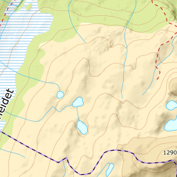
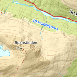
1047 metres of ascent and 5.24 km from Bukkemyrvatnet via the terraces toward Sølvfjellet and the snowfield southeast of the summit, with the treeline at 476 m and the steepest band — 18.8 degrees — between 1300 and 1400 m.
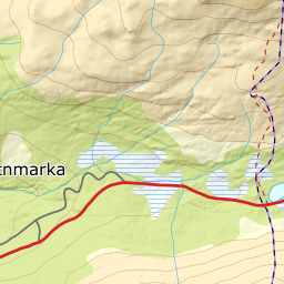
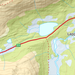
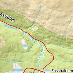
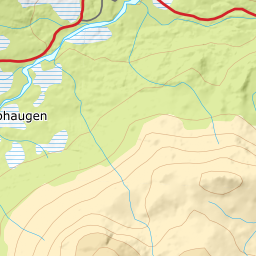
From the parking at Bukkemyrvatnet on the E6, the highest point of Gratangsfjellet — 424 m, with Lapphaugen tourist station as the source's alternative start further north. The line crosses 90 metres of Bukkemyrvatnet, never more than 25 metres from shore: a natural lake at 418 m the source's own route walks across — ordinary winter travel, said here because it is a lake you are standing on. The forest ends already at 476 m after 1.03 km.
Route description, descent and avalanche terrain open with a subscription — 14 days free, then 29 kr/month.
Start free trialMore tours in Narvik
- Rombakstøtta1231 m · Demanding
- Beisfjordtøtta1448 m · Demanding
- Litletind1100 m · Moderate
- Skjomtinden1576 m · Expert
- Gangnesaksla1318 m · Demanding