Steindalsnosi
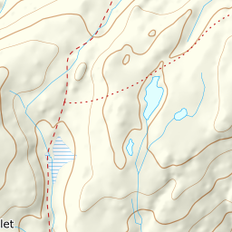
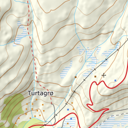
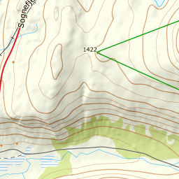
764 metres of climbing from Sognefjellsvegen to 2025 m, all of it above the treeline. The normal route takes the west side; the north side of the same mountain is another tour entirely, and the line between them runs across the summit plateau.
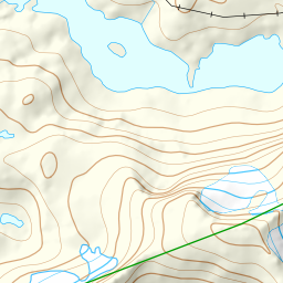
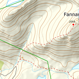
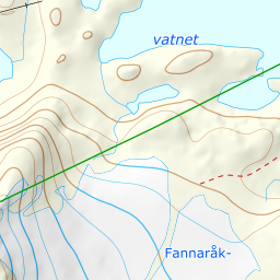
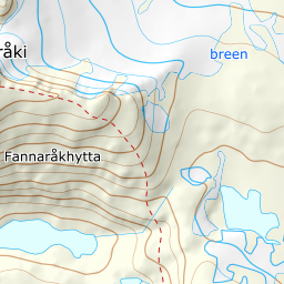
Elevation profile
764 metres of climbing over 4.0 kilometres from Gjuvvatnet, all above the treeline. Steepest section on the climb: 30.3 degrees between 1828 and 1848 m.
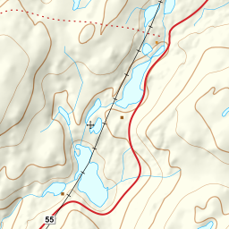
From the plowed pull-out at Gjuvvatnet on fv55 Sognefjellsvegen, 1274 m, head east into the valley hollow. The road up here closes for the winter and is plowed open around Easter — in 2026 it opened on 1 April — and for the first weeks after that the pass is closed at night, 20:00 to 08:00. It is the road, not the snow, that sets the season. Keep to the south shore of the lake — it is solid ground the whole way, and you avoid giving back the thirty metres down onto the ice. If the roadside is full, the alternative is the parking at Galgebergstjørnane a couple of kilometres north; the corridor works from there too.
Route description, descent and avalanche terrain open with a subscription — 14 days free, then 29 kr/month.
Start free trialMore tours in Sogn
See all the tours