Storbekkhøa
897 metres of climbing and 5.92 km from Storli to the cairn at 1504 m. The ascent is gentle — the steepest hundred-metre band is 15.8 degrees — and the south-east face right by the top is not: it measures 34.1 degrees on average with a 46.9-degree window 20 to 80 metres out from the cairn.
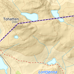
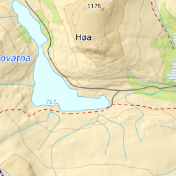
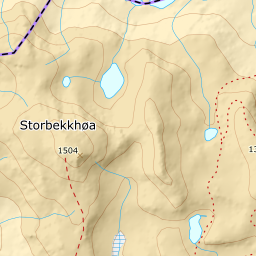
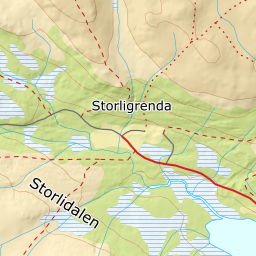

Elevation profile
897 metres of climbing and 5.92 km from Storli up Storbekkdalen at 1000 m, over the ridge west of Storbekken at 1211 and through the col at 1313 m.
Start at the car park by Storli, 623 m — pay and display, 30 kroner in the box, and tagged for skiing. Ut.no: «From Storli parking you put your skis on at the car.» Head straight north toward Storbekkdalen through the birch slope. Here the sources part company: ut.no puts the route on the right-hand side of Veslebekken, while Fri Flyt writes that it follows Storbekken north from Storli through the birch forest. The line follows the mapped path, which does a little of both — it crosses Veslebekken down in the birch slope and stays 7 to 967 metres from Storbekken on the way up the valley. The band from 700 to 800 m is the steepest of the whole tour, 15.8 degrees over 360 metres of ground, and the steepest sustained step on the line sits just below it: 25.8 degrees between 661 and 683 m.
Route description, descent and avalanche terrain open with a subscription — 14 days free, then 29 kr/month.
Start free trialMore tours in Trollheimen
- Snota1668 m · Demanding
- Okla1582 m · Moderate
- Storhornet1589 m · Moderate