Store Ble
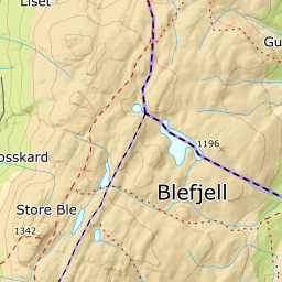
672 metres of climbing over 6.69 km from Nordstulvatnet: almost two kilometres of flat forest, a pitch through Langedalen where the band from 800 to 900 m measures 11.2 degrees, and a high plateau above. The steepest sustained section, 35.2 degrees between 1228 and 1251 m, is in the summit slope — and that is the side the descriptions say you may have to scramble in thin snow.
Elevation profile
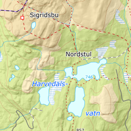
672 metres of climbing and 6.69 km from Nordstul, with the treeline at 945 m, Sigridsbu at 1175 and the steepest hundred-metre band between 800 and 900 m.
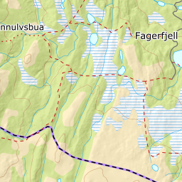
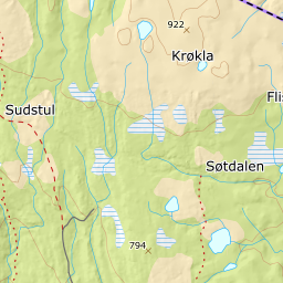
Start at the large car park by Nordstulvatnet, 714 m. The route climbs gently through open forest and crosses the river running out of Sønstevatn, 746 m; randofolk.no describes a bridge there. The band from 700 to 800 m measures 2.9 degrees over 1785 metres of ground — that is the flat approach, and it is longer than it looks on the map.
Route description, descent and avalanche terrain open with a subscription — 14 days free, then 29 kr/month.
Start free trialMore tours in Blefjell
- Surløytenuten1097 m · Moderate