Storgalten
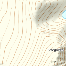
Fjord to summit in outer Lyngen: 1215 metres of climbing from the roadside where Galtelva runs out into Nord-Lenangen, to the cairn at 1219. A short line, open mountain from 70 m up, and the fjord behind you from the first step.
Elevation profile
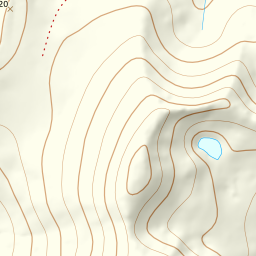
From 14 m at Galtelva's mouth to 1219 at the top — 1215 metres of climbing over 4.2 kilometres, with the steepest ground between 800 and 860.
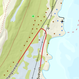
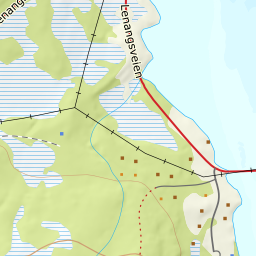
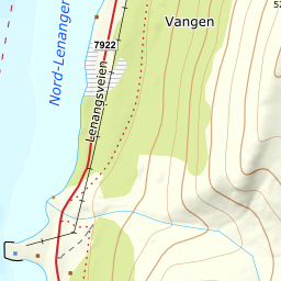
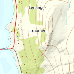
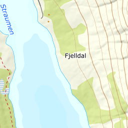
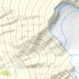
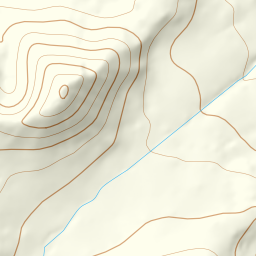
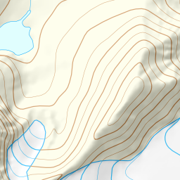
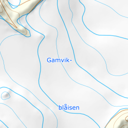
Start at Sandneset, where Galtelva runs out into the fjord at 14 m, right by Fv7922 Lenangsveien. Parking is unsigned: what there is is the space on the north side of the river mouth and the verge along the county road. Park well clear of the carriageway — this road is plowed all winter. From here go straight into Galtdalen north of Lassofjellet and keep the south bank of the river, which is the right-hand side going up. The birch forest gives up at around 70 m; the rest of the tour is open terrain.
Route description, descent and avalanche terrain open with a subscription — 14 days free, then 29 kr/month.
Start free trialMore tours in Lyngen
- Fastdalstinden1275 m · Demanding
- Rørnestinden1030 m · Moderate
- Kavringtinden1289 m · Demanding