Storhornet
936 metres of climbing and 5.01 km on the marked winter route from Bree to the stone shelter at 1589 m. Even is the word, and the measurement agrees: no hundred-metre band exceeds 13.1 degrees, the steepest sustained step is 20.5 degrees between 1463 and 1480 m, and the route gives back not a single metre. The steep ground on this mountain is on the north-east side, behind the summit.
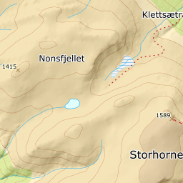
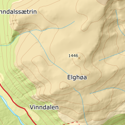
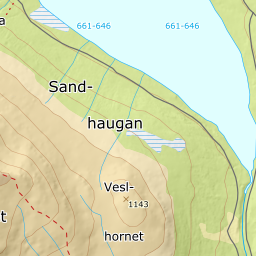
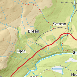
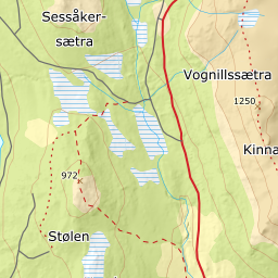
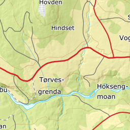
Elevation profile
936 metres of climbing and 4.84 km on the mapped winter route from Bree through the cabin field at Hornlia, with the forest letting go at 921 m and open mountain from 931.
Start at the paid car park by Bree, 653 m — ten spaces, tagged for both skiing and walking, and Fri Flyt sends you there with «follow the road that goes left after the shop and drive about 1.3 kilometres». From here to the cairn the line follows the mapped winter route, a continuous ski-touring trail of 5.13 km ending 25 metres from the summit; the largest gap between the line and the trail is 166 metres.
Route description, descent and avalanche terrain open with a subscription — 14 days free, then 29 kr/month.
Start free trialMore tours in Trollheimen
- Snota1668 m · Demanding
- Storbekkhøa1504 m · Moderate
- Okla1582 m · Moderate