Stornappstinden
The Lofoten classic in manageable format: 685 vertical metres from the roadside to a cairn standing right on the edge of the cliff. Short enough for an afternoon, big enough to become a favourite.
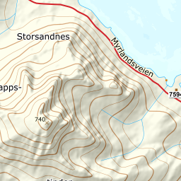
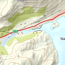
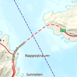
Elevation profile
61 to 741 m over 3.1 kilometres: steady climbing through the valley, one steep step, then flat ground to the cairn.
From the car park at the ski tow in Nappskaret, a kilometre west of Napp, head north and keep left of the lift. Just above the top pylon, at 139 m, the paths from the various car parks converge into one track — if you start from the western car park a little over 250 metres away, you join the same track here. From 61 m and upwards you are above the treeline the whole way; there is no forest on this route.
Route description, descent and avalanche terrain open with a subscription — 14 days free, then 29 kr/month.
Start free trialMore tours in Lofoten
- Pilan826 m · Demanding
- Geitgaljen1085 m · Expert
- Torskmannen755 m · Demanding
- Rundfjellet803 m · Moderate
- Kleppstadheia534 m · Easy
- Varden (Småtindan)700 m · Moderate
- Himmeltindan956 m · Demanding
- Justadtinden736 m · Moderate