Storronden
1108 metres of climbing from Spranget, but the mountain only begins after six kilometres: the approach to Rondvassbu gains 132 metres, and the rest comes in 2.6 kilometres up the west ridge. Easier than Rondslottet from the same car park — no arête, no reclimbing.
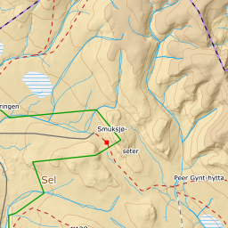
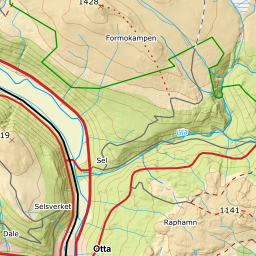
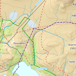
Elevation profile
1108 metres of climbing and 10.23 km from Spranget, 698 of those metres in the last 2.85 kilometres up the west ridge.
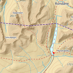
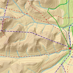
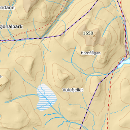
From Spranget car park, 1082 m, follow the Rondvassbu road six kilometres north-east: over 1137 m, through the valley south-west of the hut and on to Rondvassbu at 1214 m. The band between 1100 and 1200 m averages 1.3 degrees over four and a half kilometres. Around the bay at Lonin at the south end of Rondvatnet, keep to the land rather than taking the short cut over the ice.
Route description, descent and avalanche terrain open with a subscription — 14 days free, then 29 kr/month.
Start free trialMore tours in Rondane
- Rondslottet2178 m · Moderate