Stortinden på Rolla
984 metres of ascent over 7.26 km from Indre Forså to Rolla's highest — Fri Flyt rates it KAST 3 – Complex with ice axe and crampons, an often-corniced summit, and a couloir of an even 30–40 degrees as the normal way. The line measures 21.4 degrees in its steepest hundred-metre band and 27.8 in its steepest sustained stretch, directly below the top. The source's stated gain, 1021, is the summit height duplicated into the gain field — the card carries the line's own 980. Mevatnet is regulated, and the line rounds it on land.
Elevation profile
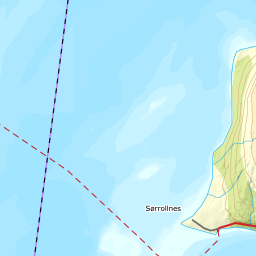
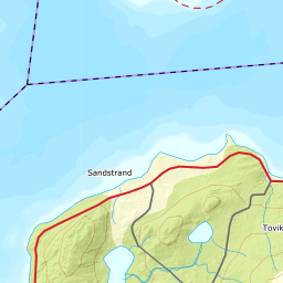
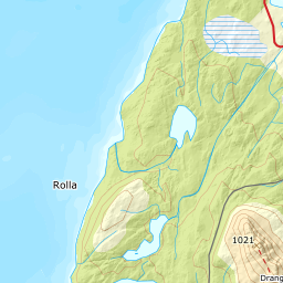
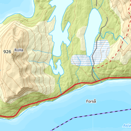
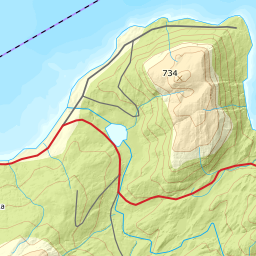
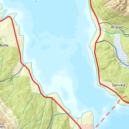
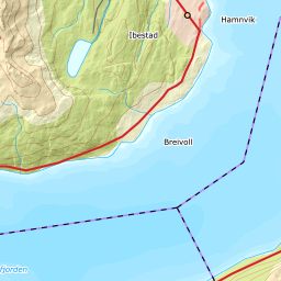
984 metres of ascent and 7.26 km from Indre Forså across the moors and along Mevatnet's east side, with the treeline at 485 m and the steepest ground — 27.8 degrees between 967 and 991 m — in the couloir south of the summit.
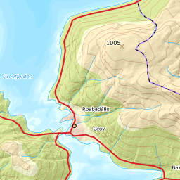
From Indre Forså on the fv. 848 on Rolla's west side — 85 m, with limited parking requiring the landowner's consent according to the source; ask first, it is part of the tour. The moors inland are flat: the bands from 100 to 400 m measure 2 to 5 degrees, and the forest ends only at 485 m after 5.67 km — a long, quiet approach.
Route description, descent and avalanche terrain open with a subscription — 14 days free, then 29 kr/month.
Start free trialMore tours in Harstad
- Hattfjellet857 m · Demanding
- Stortussen945 m · Demanding
- Litletussen795 m · Demanding
- Slåttheia694 m · Moderate
- Skjellesvikgalten987 m · Expert
- Nona1009 m · Expert
- Trolltinden918 m · Demanding
- Årbostadtinden1179 m · Expert
- Klåptinden998 m · Demanding
- Toppen759 m · Expert
- Lundenesgalten787 m · Demanding
- Middagstinden på Andørja630 m · Moderate
- Skartinden1149 m · Expert
- Langlitinden1276 m · Expert
- Kråkrøtinden1186 m · Expert
- Ristinden1056 m · Expert
- Snøtinden1215 m · Expert
- Storhornet i Kvæfjord722 m · Easy
- Vetefjellet547 m · Moderate
- Storlitinden613 m · Easy
- Rundtinden872 m · Demanding
- Sula848 m · Moderate
- Heia527 m · Easy
- Hinnstein560 m · Demanding
- Lasselitinden896 m · Demanding
- Hemmestadfjellet686 m · Moderate
- Middagstinden i Kvæfjord922 m · Expert
- Nattmålsfjellet546 m · Demanding
- Horntindan911 m · Expert
- Tverrfjellet889 m · Moderate
- Sørvikfjellet607 m · Expert
- Melåaksla916 m · Moderate
- Rundfjellet i Harstad868 m · Moderate
- Jakobstinden976 m · Demanding
- Haukebøtinden905 m · Moderate
- Reinspælen1117 m · Expert
- Sætertinden1095 m · Moderate
- Kongsviktinden980 m · Demanding
- Snøtinden i Tjeldsund980 m · Moderate
- Taraldsviktinden776 m · Demanding
- Nonstinden930 m · Expert
- Snøtindan996 m · Expert
- Fiskefjordtindan965 m · Demanding
- Middagsfjellet810 m · Demanding
- Strandtinden1076 m · Demanding
- Jotind979 m · Expert
- Siriskolten659 m · Easy
- Trollfjellet1009 m · Moderate
- Helligtinden948 m · Demanding