Strandtinden
1144 metres of climbing and 5.79 km from the E10 at sea level to the summit at 1076 m — the great classic of the Harstad area, and a mountain with no gentle side. The steepest hundred-metre band on the route is 19.8 degrees between 600 and 700 m and the steepest step 29.1 between 736 and 761, but the flanks around it measure 40 to 64 degrees in their steepest windows. The route takes the summit from the west because west is the one edge that does not.
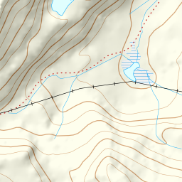
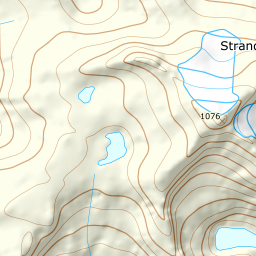
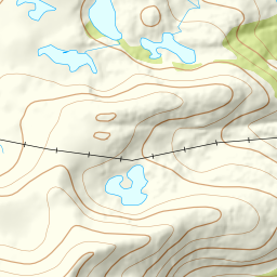
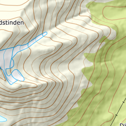
Elevation profile
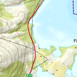
1144 metres of climbing and 5.79 km from the E10 at 21 m up through Heggedalen past 146, the gully at 510 and spot height 570, across the bowl to 805 and west along the bench to the north-west ridge at 886, 952 and 1040.
Start along the E10 where the road comes closest to the mouth of Heggedalen, 21 m. The source gives a stretch rather than a point: «there are several options along the E10, depending on how much has been ploughed», with a warning worth carrying — «this is a busy road with an 80 km/h limit and few straight stretches, so take care along it and park a little further south and traverse above the road rather than create a dangerous situation on it». The road under the mountain is called Strandstindvegen, after the mountain.
Route description, descent and avalanche terrain open with a subscription — 14 days free, then 29 kr/month.
Start free trialMore tours in Harstad
- Hattfjellet857 m · Demanding
- Stortussen945 m · Demanding
- Litletussen795 m · Demanding
- Slåttheia694 m · Moderate
- Skjellesvikgalten987 m · Expert
- Nona1009 m · Expert
- Trolltinden918 m · Demanding
- Årbostadtinden1179 m · Expert
- Klåptinden998 m · Demanding
- Toppen759 m · Expert
- Lundenesgalten787 m · Demanding
- Middagstinden på Andørja630 m · Moderate
- Skartinden1149 m · Expert
- Langlitinden1276 m · Expert
- Kråkrøtinden1186 m · Expert
- Ristinden1056 m · Expert
- Snøtinden1215 m · Expert
- Storhornet i Kvæfjord722 m · Easy
- Vetefjellet547 m · Moderate
- Storlitinden613 m · Easy
- Stortinden på Rolla1020 m · Expert
- Rundtinden872 m · Demanding
- Sula848 m · Moderate
- Heia527 m · Easy
- Hinnstein560 m · Demanding
- Lasselitinden896 m · Demanding
- Hemmestadfjellet686 m · Moderate
- Middagstinden i Kvæfjord922 m · Expert
- Nattmålsfjellet546 m · Demanding
- Horntindan911 m · Expert
- Tverrfjellet889 m · Moderate
- Sørvikfjellet607 m · Expert
- Melåaksla916 m · Moderate
- Rundfjellet i Harstad868 m · Moderate
- Jakobstinden976 m · Demanding
- Haukebøtinden905 m · Moderate
- Reinspælen1117 m · Expert
- Sætertinden1095 m · Moderate
- Kongsviktinden980 m · Demanding
- Snøtinden i Tjeldsund980 m · Moderate
- Taraldsviktinden776 m · Demanding
- Nonstinden930 m · Expert
- Snøtindan996 m · Expert
- Fiskefjordtindan965 m · Demanding
- Middagsfjellet810 m · Demanding
- Jotind979 m · Expert
- Siriskolten659 m · Easy
- Trollfjellet1009 m · Moderate
- Helligtinden948 m · Demanding