Styggemann
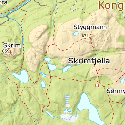
549 metres of climbing over 9.61 km from Ravalsjø to the highest top in Skrim, and most of them come at the end: the first six kilometres stay below 2 degrees on average per hundred metres. The summit is the steep part — 15.1 degrees from 800 to 900 m, and the east side directly below the cairn falls 48.5 degrees.
Elevation profile
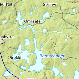
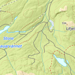
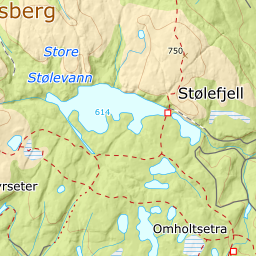
549 metres of climbing and 9.61 km from Ravalsjø by Skrimsetra, Fugleleikskarva and Sørmyrseter, with the treeline at 700 m and all the climbing above 700 m.
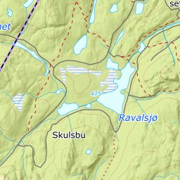
Start at the car park by Ravalsjø, 483 m, and follow the signs and markers past Ormetangen, 476 m, and up the hillside east of the lake. This is forest terrain with groomed tracks, and they are what make the tour a day trip: the band from 400 to 500 m measures 0.6 degrees over 1848 metres of ground.
Route description, descent and avalanche terrain open with a subscription — 14 days free, then 29 kr/month.
Start free trial