SunnmøreModerateSeason Dec–Apr
Sunndalsnipa
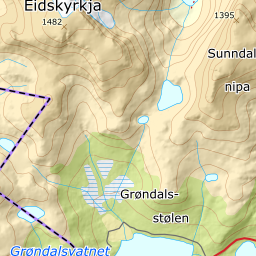
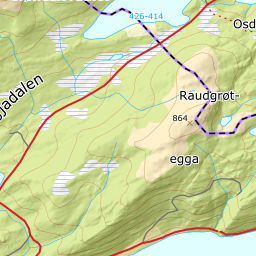
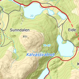
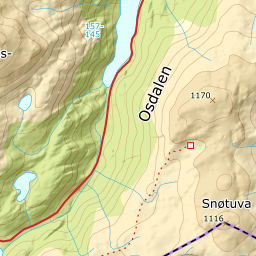
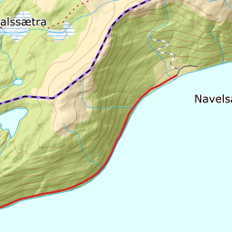
989 metres of climbing over 5.56 km from Grøndalsvatnet, up a south-east ridge and out onto a plateau where the last 1261 metres of ground lie at 4.2 degrees. South-facing and reachable all winter — the road in is open year round.
Summit
1395 m
Vertical gain
↑ 990 m
Typical time
4–6 h
Grade
Moderate
Aspect
S
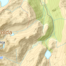
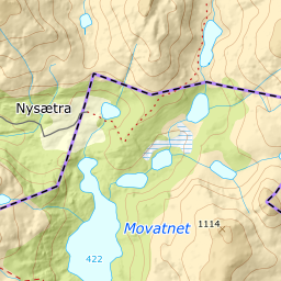
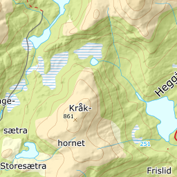
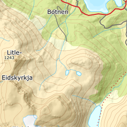
Elevation profile
989 metres of climbing and 5.56 km from Grøndalsvatnet up the south-east ridge, with the treeline at 722 m and a kilometre of flat plateau to the cairn.
Start at the end of the road by Grøndalsvatnet, 437 m, up the hills from Osdalen. The first 638 metres of ground are gentle, 5.7 degrees, crossing bog and into open birch forest.
Route description, descent and avalanche terrain open with a subscription — 14 days free, then 29 kr/month.
Start free trialMore tours in Sunnmøre
- Auskjeret1203 m · Moderate
- Jønshornet1417 m · Expert
- Ytstevasshornet1331 m · Demanding
- Råna1587 m · Demanding
- Kolåstinden1432 m · Demanding
- Vassdalstinden1278 m · Demanding
- Saudehornet1303 m · Demanding
- Slogen1564 m · Expert
- Torvløysa1851 m · Moderate
- Skårene1830 m · Demanding
- Melshornet809 m · Easy
- Jakta1589 m · Demanding
- Skårasalen1542 m · Demanding
- Kvitegga1700 m · Demanding
- Hornindalsrokken1527 m · Expert
- Eidskyrkja1482 m · Demanding