Surløytenuten
456 metres of climbing over 6.10 km from Nordstul, and the gentlest tour in this part of Blefjell: the steepest hundred-metre band measures 5.3 degrees. The route runs north past the summit to Vassholet at 993 m and comes back south along Surløyterinden — which is why the last kilometres feel like a ridge rather than a slope.
Elevation profile
456 metres of climbing and 6.10 km from Nordstul by Sudstul and Vassholet, with the treeline at 951 m and the cairn at 1097.
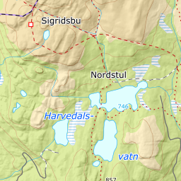
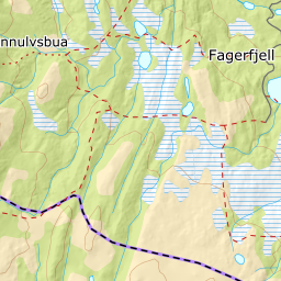
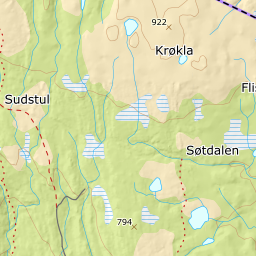
From the north end of the car park at Nordstul, 714 m, the path drops right and crosses Esperåa on a bridge, 730 m. Keep right and follow the boardwalked path to the summer farm at Sudstul, 727 m, where the DNT route between Selsli and Sigridsbu crosses.
Route description, descent and avalanche terrain open with a subscription — 14 days free, then 29 kr/month.
Start free trialMore tours in Blefjell
- Store Ble1343 m · Moderate