Synshorn
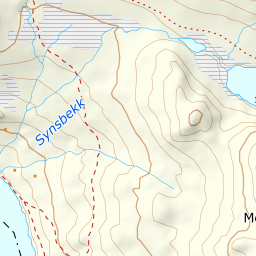
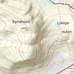
A short tour straight up from Bygdin, with a 360-degree view from the top — Jotunheimen to the north, Bygdin to the west, Bitihorn to the south. 428 metres of ascent over barely two kilometres makes this the tour you take when the weather window is short.
Elevation profile
1060 to 1475 m in barely two kilometres — an even climb in open terrain, steepest over the last hundred metres.
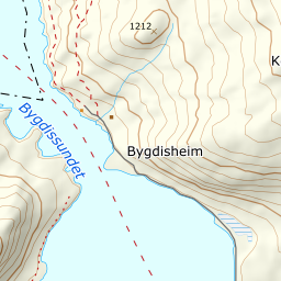
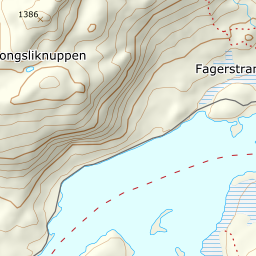
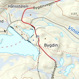
Start at the car park at Fagerstrand on the east shore of Bygdin, next to Bygdinstøga and Bygdin Høifjellshotell. The car park is private and charges, paid by Vipps to the number on the sign. Sources give the rate as both 60 and 80 kroner, so read the sign rather than budget for a figure. Fv51 is closed for the winter north of here, so Bygdin is the plowed end of the road and the car park stays reachable all spring. You are above the treeline from the first step, and the climb begins straight away.
Route description, descent and avalanche terrain open with a subscription — 14 days free, then 29 kr/month.
Start free trialMore tours in Valdres
- Bitihorn1607 m · Easy